Yun-Nan: The Link Between India and the Yangtze
Yun-Nan: The Link Between India and the Yangtze
Major Henry Rodolph Davies
Cambridge University Press, 1909
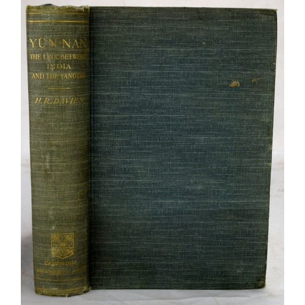
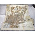
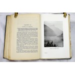
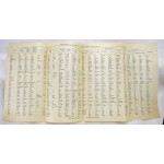
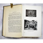
Bound in publisher's blue cloth. 25 cm. Hardcover. Good binding and cover. Scratch on front board. Minor shelf wear. xii, 431 p. 104 photographic images on 74 plates. Fold out map and 3 folded tables included. Generally clean. Note on end pages.
Davies, a member of the British intelligence service, was commissioned to travel to the Chinese province of Yunnan to survey potential railway routes to connect British-occupied Burma with the upper Yangtze river and through to Sichuan. "Major Davies began the surveys of Yunnan in 1895, and was assisted in 1898 and in the following year by Captain C H D Ryder. Their journey started at Bhamo and their surveys covered a large area to the north, west and south of the Yunnan. Their work was of a very high order, and after it there was some reality in a map of Yunnan, which had hitherto been crossed only by a number of route surveys." - Baker. Major Davies notes in the first paragraphs that this was a little-known part of the world, even to the British (who claimed it as part of the Empire). Most roads were untraveled, plants and animals undocumented. Yet the region was a critical link historically for traders and armies going between China and India. Refs: Cordier: Sinica, 3332. Yakushi (1994) D108.
