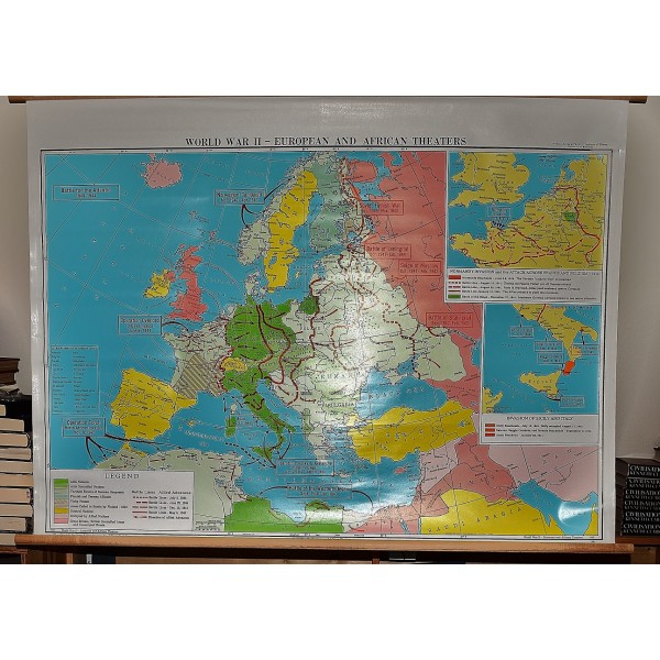
World War II, European and African Theaters (Large Pull Down Map)
Click Image for Gallery
World War II, European and African Theaters (Large Pull Down Map)
Thomas D. Clark
George F. Cram, Indianapolis, 1960
Historical WWII map showing the war in Europe and Africa. 85 x 125 cm (133 x 98 cm). Insets: D-Day 1944; Invasion of Sicily and Italy. Cram's Superior Series Historical School Maps, No. 1045. Scale 1:5,632,800.
Note: This is a large, heavy map. Additional postage will apply depending on delivery location

