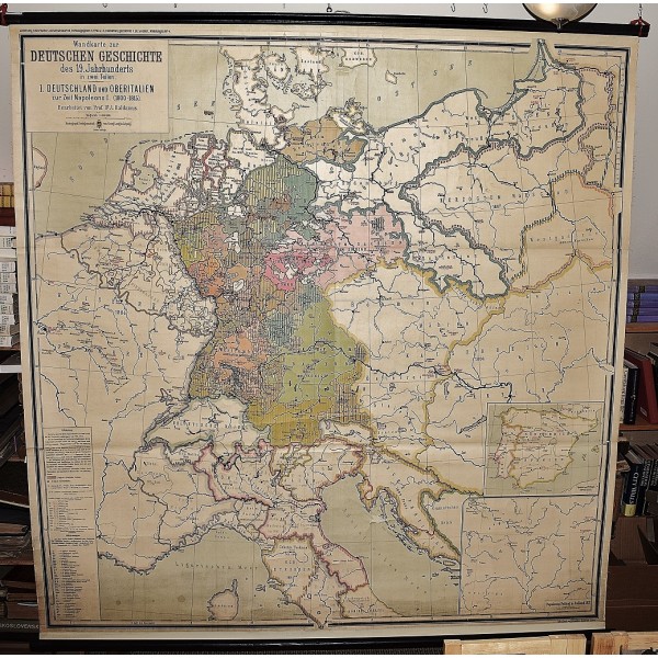
Wandkarte zur Deutschen Geschichte des 19. Jahrhunderts 1. Deutschland u. Oberitalien z. Z. Napoleons I. (1800-1815) (Large Pull Down Map)
Click Image for Gallery
Wandkarte zur Deutschen Geschichte des 19. Jahrhunderts 1. Deutschland u. Oberitalien z. Z. Napoleons I. (1800-1815) (Large Pull Down Map)
Alfred Baldamus, Otto Berthold
Klasing Co. G. Lang, Leipzig, Leipzig, 1955
[Napoleonic Germany to Waterloo] 175 x 192 cm. Mounted on muslin, wood rods top and bottom. A few small chips missing. Scale 1:800000. No date, presumed. Sammlung historischer Schulwandkarten, Abt. 3. No 4. Note: This is a large, heavy map. Additional postage will apply depending on delivery location.


