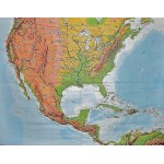
United States and Central America: Physical Wall Map (Large Pull Down Map)
Click Image for Gallery
United States and Central America: Physical Wall Map (Large Pull Down Map)
H. Haack for J. Perthes, Gotha
Klett Perthes, 2001
149 x 193 cm. Color map, mounted on wood rods top and bottom. 1:3,500,000. Physical map features detailed topographic relief shading as well as ocean depths. Mountain ranges, peaks, rivers, swamps, and urban areas are all indicated on the map.
Note: This is a large, heavy map. Additional postage will apply depending on delivery location.


