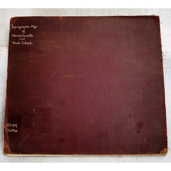
Topographic Map of Massachusetts and Rhode Island
Click Image for Gallery
Topographic Map of Massachusetts and Rhode Island
Geological Survey (U.S.)
Compiled from U.S. Geological Survey atlas sheets ; surveyed in 1884-1888 in cooperation with the states of Massachusetts and Rhode Island. 1915
Original color map of Massachusetts and Rhode Island. 75 x 125 cm. Scale 1:250,000. 12 sheets. Separated at folds. Cloth backed.


