Tertiary History of the Grand Canon District with Atlas
Tertiary History of the Grand Canon District with Atlas
Dutton, Clarence E.
Government Printing Office, 1882
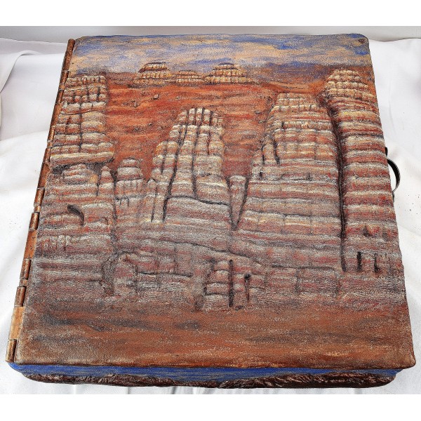
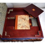
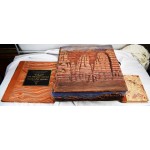
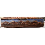
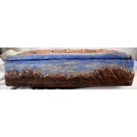
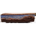
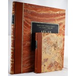
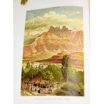
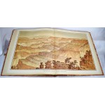
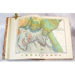
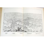
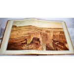
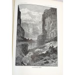
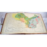
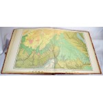
1st ed. 2 volumes. Atlas + Monograph. Rebound in fine 3/4 moroccan leather over marbled boards. The boards have been specially designed to reproduce the majesty of the Grand Canyon. Monograph: xiv, 264; ills. 31 x 23 cm. Atlas: 23 sheets: color illustrations, color maps ; 52 x 45 cm. 22 double-page color plates. Lithographed by Julius Bien.
"One of the greatest, if not the very greatest of all Grand Canyon books... The atlas, containing the superb panoramic views by William H. Holmes and a drawing by Thomas Moran, is a rich portfolio of art as well as a collection of maps and an exposition of geology." Farquhar, Books of the Colorado River & the Grand Canyon: A Selective Bibliography, 73. Stephen Pyne states that Dutton "recast a rocky peninsula into geo-poetry, reshaped an amorphous panorama of Time into narrative History, and transformed an American scene into a universal symbol." (introduction the reprint) Phillips, 1471. Monographs of the United States Geological Survey, Vol. 2.
This is an oversized or heavy book, that requires additional postage for international delivery outside the US.
