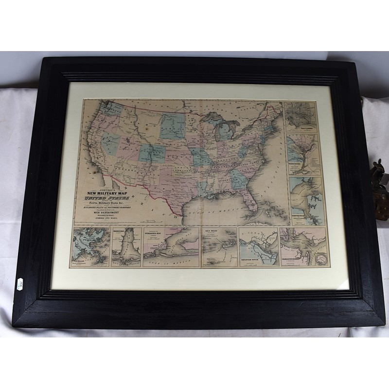
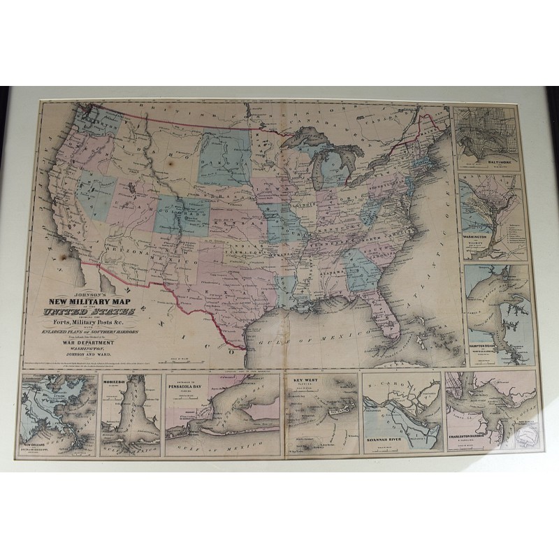
Historic Map: Johnson's New Military United States Forts, Military Posts & All The Military Divisions with Enlarged Plans of The Southern Harbors, 1862, Vintage Wall Art : 60in x 44in
Click Image for Gallery
Historic Map: Johnson's New Military United States Forts, Military Posts & All The Military Divisions with Enlarged Plans of The Southern Harbors, 1862, Vintage Wall Art : 60in x 44in
Johnson, Alvin Jewett; Colton, Joseph Hutchins; Johnson and Ward
Johnson and Ward, 1861
[Hand-colored, engraved map, 20 x 30 inches.] Mounted, under glass, in wood frame. Civil War Era map of the United States. Below and to the right of the map are nine inset plans of the major towns and harbors including Hampton Roads, Charleston Harbor, Key West, Baltimore and Washington. Crease at centerfold. Two small stains. Scale 1:10,000,000. This is an oversized or heavy book, which requires additional postage for international delivery outside the US.