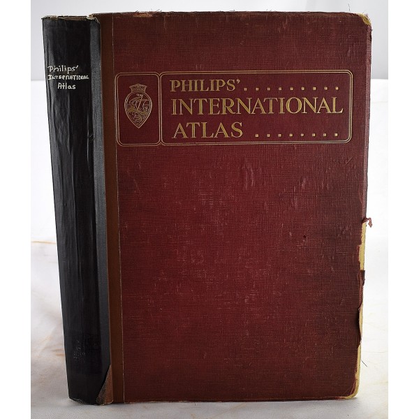
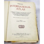
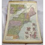
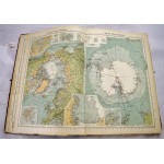
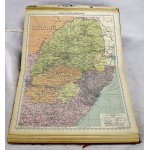
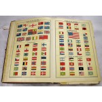
Philips' International Atlas 1931 : A Series of 160 Pages of Coloured Maps and Plans Forming a Complete Geographical Survey of the International Relationships of the New Era, Its Territorial Changes and Commercial Communications [1931]
Click Image for Gallery
Philips' International Atlas 1931 : A Series of 160 Pages of Coloured Maps and Plans Forming a Complete Geographical Survey of the International Relationships of the New Era, Its Territorial Changes and Commercial Communications [1931]
Editor-George Philip
London: George Philip & Son, Ltd., 1931
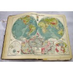
2o. Fair+ (conservatively graded). Clean, unmarked pages. Hardcover. Wear/fraying/chipping to extremities. Spine reinforced with tape. A few maps have tears. Some pages detached. 160 colored plates, double page maps. Census return of the US & GB. Ships daily.
