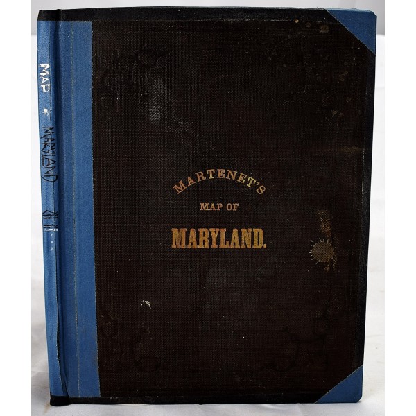
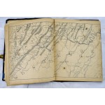
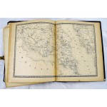
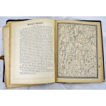
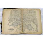
Martenet's Map of Maryland, Atlas Edition
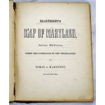
Martenet's Map of Maryland, Atlas Edition
Simon J Martenet; Engraved by Schmidt & Trows
Baltimore : S.J. Martenet, 1866
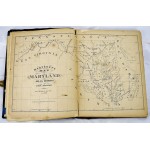
31 x 25 cm. Bound in publisher's cloth. Spine taped. Binding shaken and loose/weak. Some pages torn and detaching. Chipping to maps and pages. Light foxing affecting some maps. Martenet's state map in book form, by county. A description of each county accompanies the maps. Manuscript notations updating some of the political geography. List of sources of the map, most of which were Martenet's own surveys. 22 maps, some double page. Uncolored. Rumsey P1779. Phillips, P.L., A list of geographical atlases in the Library of Congress, no. 1779. Signed Thomas Berry, 1866. Later signed W. J. Browning, 1870.
