Maps to Accompany the Military History
Maps to Accompany the Military History of the Campaign of 1882 in Egypt.
John Frederick Maurice; Great Britain. War Office. Intelligence Division.
London : printed by Dangerfield for H.M.S.O., 1887.
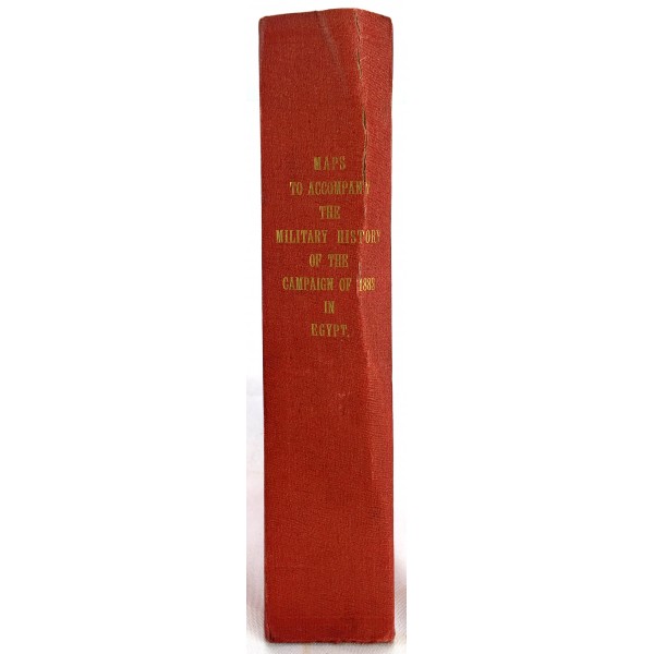
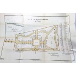
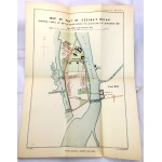
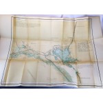
10 maps, plans, and sketches held in original slipcase. Includes small card that notes the maps. Slipcase bound in red cloth. Gilt lettering to one side of slipcase. Green silk ribbon, faded to ends. Shelfwear. Bending to both sides of slipcase. All maps present. Slight tanning to edges with minimal tears to fold.
The Anglo-Egyptian War occurred in 1882 between Egyptian and Sudanese forces under Ahmed Urabi and the United Kingdom. It ended a nationalist uprising against the khedive Tewfik Pasha and vastly expanded British influence over the country, at the expense of the French. The uprising began in 1878, when an Egyptian army officer, Ahmed Urabi or Arabi Pasha, mutinied and initiated a coup against Tewfik Pasha, the Khedive of Egypt and Sudan, because of grievances over disparities in pay between Egyptians and Europeans, as well as other concerns. The war was short, resulting in only the Bombardment of Alexandria, Battle of Kafr-el-Dawwar, and the Battle of Tel el-Kebir. Several British military innovations where started during this conflict such as use of railroads, the telegraph and Army Post Office Corps, the forerunners of the Royal Engineers. British troops then occupied Egypt until the Anglo–Egyptian Treaty of 1922 and Anglo-Egyptian treaty of 1936, giving gradual control back to the government of Egypt. Hopkins argues that Britain continued its occupation of Egypt after 1882 in order to guarantee British investments, "Britain had important interests to defend in Egypt and she was prepared to withdraw only if conditions guaranteeing the security of those interests were met - and they never were" (Hopkins, A. G. (July 1986). "The Victorians and Africa: A Reconsideration of the Occupation of Egypt, 1882". The Journal of African History 27)


