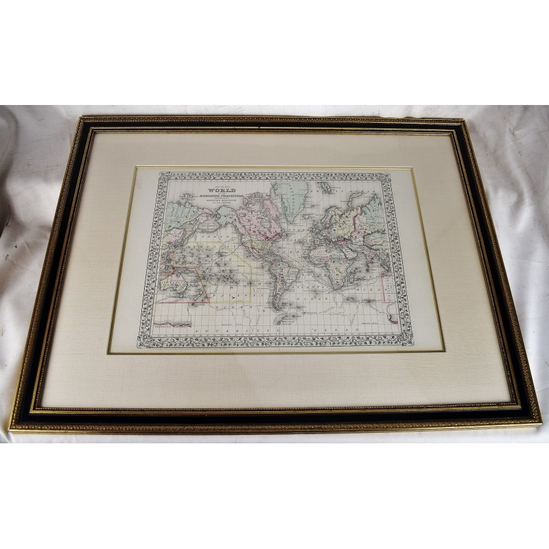
Map of the World on the Mercator Projection Exhibiting the American Continent at its Centre. (Original, Hand-Colored, Framed Map Under Glass)
Click Image for Gallery
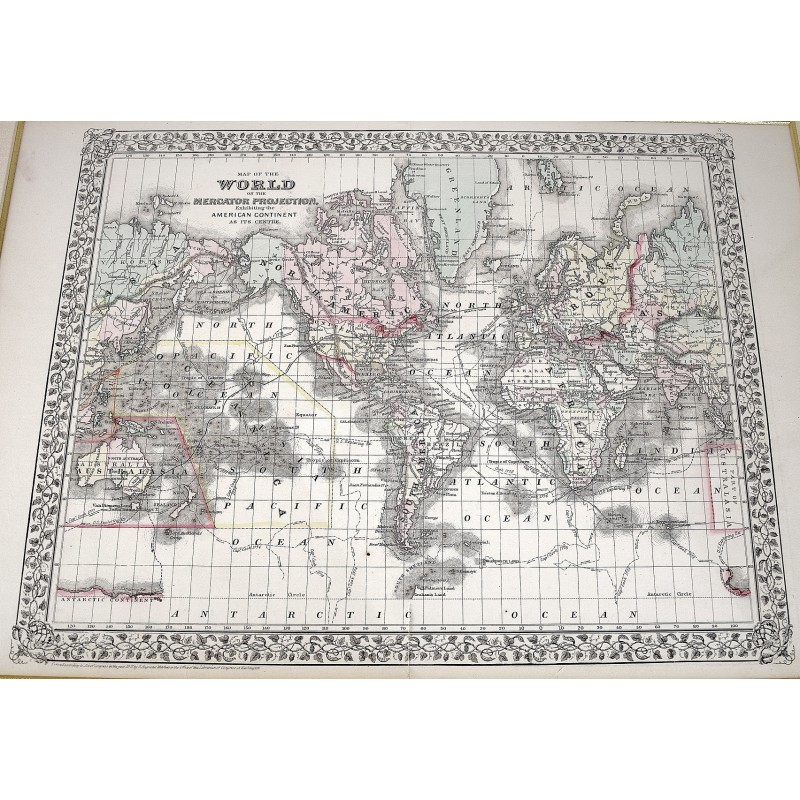
Map of the World on the Mercator Projection Exhibiting the American Continent at its Centre. (Original, Hand-Colored, Framed Map Under Glass)
S. Augustus Mitchell
S. Augustus Mitchell, Philadelphia, 1871
[Large Lithographed Map of the World] Wooden gilt frame. Framed dimensions: 32" x 25" inches. (82 x 64 cm). Sheet Measures c. 12 1/2"H x 15 1/4" W. Engraved Area Measures c. 10 1/2" H x 13 1/2" W. This version has the tracks of the explorers Capt. Cook in 1774-80 and the tracks of the U.S. Exploration Expedition under Wilkes.
Refs: Reps, American Maps and Mapmakers, p. 313. Tooley's Dictionary of Mapmakers, vol. 4, pp. 260.