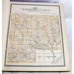
Atlas of Muscatine County, Iowa: Containing Maps of Villages, Cities and Townships of the County, Maps of State, United States and World
Click Image for Gallery
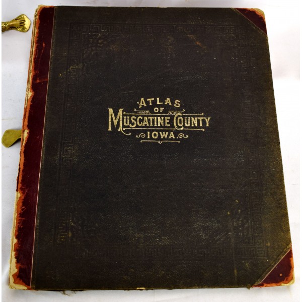
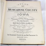
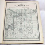
Atlas of Muscatine County, Iowa : containing maps of villages, cities and townships of the county, maps of state, United States and world : farmers directory, business directory, general information, analysis of the system of U.S. land surveys, digest of the system of civil government and portraits of public officers and leading citizens.
Huebinger Survey and Map Publishing Company
Davenport: Huebinger Surveying and Map Publishing Co., 1899
Folio. 133 pp: illustrations, maps ; 17 3/4 x 15 1/4 in. Maps hand-colored. Original publishers black cloth boards, backed in red leather. Rubbing, joints cracked. Some loss to spine leather. Spotting and soiling to maps. Scattered pencil marks. Portraits of prominent Iowans of the day in the rear. LeGear. Atlases of the United States, 4692.
This is an oversized or heavy book, which requires additional postage for international delivery outside the US.
