Die Weimarer Republik 1918-1933
Click Image for Gallery
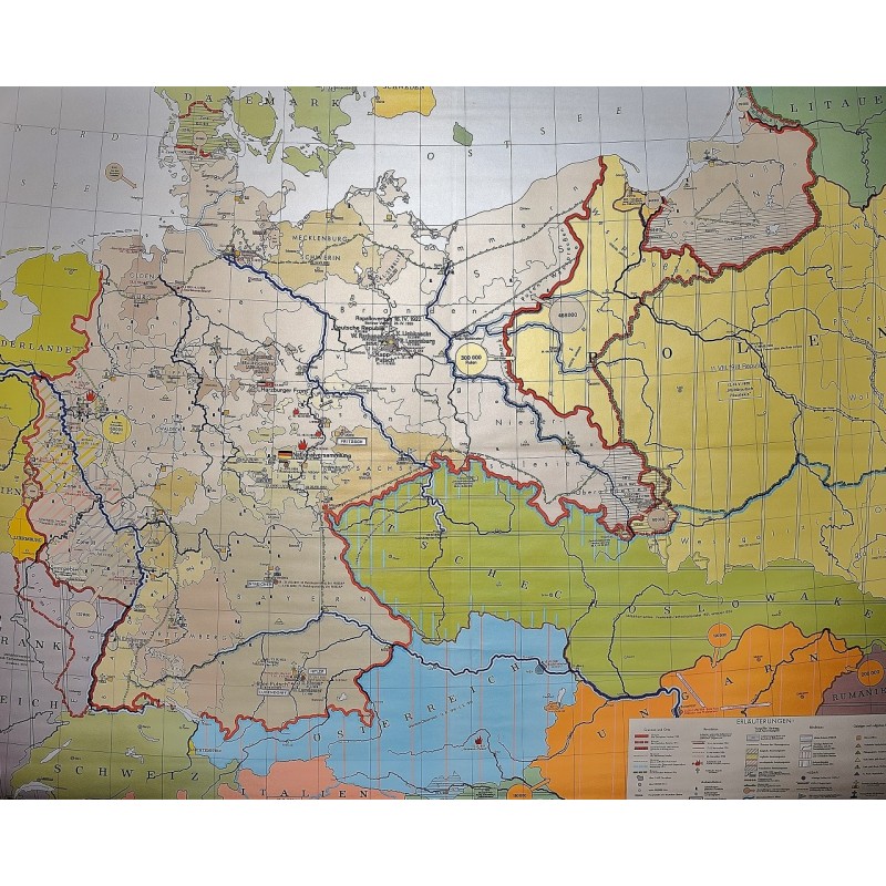
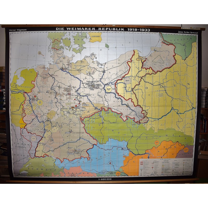
Die Weimarer Republik 1918-1933
Werner Hilgemann (Cartographer), Justus Perthes (Firm : Darmstadt, Germany)
Justus-Perthes, Darmstadt, 1993
[Weimar Republic] 179 x 230 cm. Mounted on linen, wood rods top and bottom. Scale 1:600,0000, (E 4 00'--E 25 00'/N 55 00--N 46 00). Mounted wall map of Germany during the Weimar Republic 1918-1933 showing boundary changes, revolutions, revolts, attempted coups, political assassinations, antisemitic events, plebiscite, evacuation and occupation zones, refugee flows, alliances, Nazi party districts and meetings, and intellectual and religious institutions. Note: This is a large, heavy map. Additional postage will apply depending on delivery location.