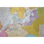
Die Hanse (The Hanseatic League) (Large Pull Down Map)
Click Image for Gallery
Die Hanse (The Hanseatic League) (Large Pull Down Map)
Werner Hilgemann, Wiltrud Hilgemann
Perthes, Darmstadt, 2000
[Large map of Medieval Scandinavia and Germany] 186 x 135 cm. Color map, wood rods top and bottom. 1:1.200.000. Note: This is a large, heavy map. Additional postage will apply depending on delivery location.


