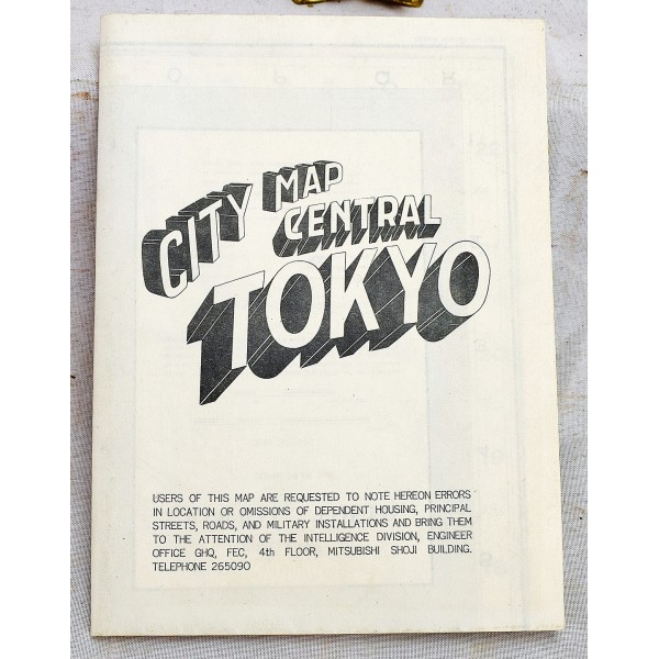
City Map Central Tokyo. June 1948
City Map Central Tokyo. June 1948
Engineer Survey Battalion
Engineer Survey Battalion, 1948
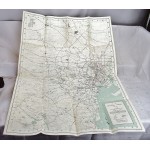
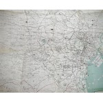
Very good +. 1 map : color ; 90 x 66 cm on sheet 95 x 73 cm. Very light wear on edges, otherwise in excellent condition with no tears. Detailed street map of Tokyo, Japan, showing Roads, Military Routes, Principal Streets, Military Installation, Dependant House, KU Boundary. Title on verso: City map Central Tokyo.On verso: index, mileage chart and insets of location map and map of Marunouchi District."Compiled in 1948 from aerial photography by USAF 1947.""Corrected to May 1951.""Shows locations of dependent houses, allied installations, and principal streets in the Tokyo area.""64th ENGR Base Topo BN-BN 2902-6/51-25 M."


