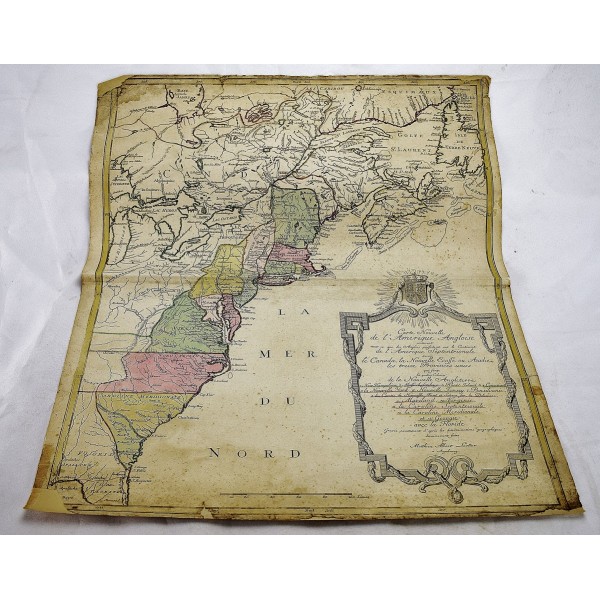
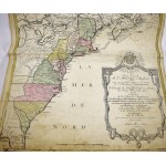
Carte Nouvelle de l'Amerique Angloise Contenant tout ce que les Anglois Possedent sur le Continent de l'Amerique Septentrionale Savoir le Canada, la Nouvelle Ecosse ou Acadie
Carte Nouvelle de l'Amerique Angloise Contenant tout ce que les Anglois Possedent sur le Continent de l'Amerique Septentrionale Savoir le Canada, la Nouvelle Ecosse ou Acadie, les Treize Provinces Unies qui Font: les Quatres Colonies de la Nouvelle Angleterre
Matthaus Albrecht Lotter
Augsbourg, 1776
Map. 52 x 61 cm. Hand-colored. Margins and corners repaired. Margin soiled.
"Covers the area from James Bay to the Gulf of Mexico and west to Lake Michigan. Shows provinces, towns, and cities, some forts and trails, Indian villages and tribal territory, and relief." - Sellers. Refs: Sellers & Van Ee 141; Phillips, Maps of America, p. 3517; McCorkle, New England in Early Printed Maps 776.19.
Lotter's map of the English colonies of North America was first issued shortly before the outbreak of the American Revolution. It was included in Lotter's Atlas Geographique and composite atlases throughout the Revolutionary period. The map covers the region from James Bay through Newfoundland in the north and to the northern part of Florida in the south. The large and ornate cartouche incorporates the British coat of arms and names the thirteen colonies. The limited borders of the British colonies indicate that this map was intended for the French market (as British claims tended to bound the continent).


