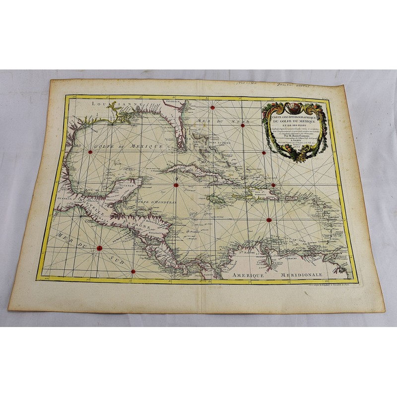
Carte Geo-Hydrographique du Golfe du Mexique et de ses Isles
Click Image for Gallery
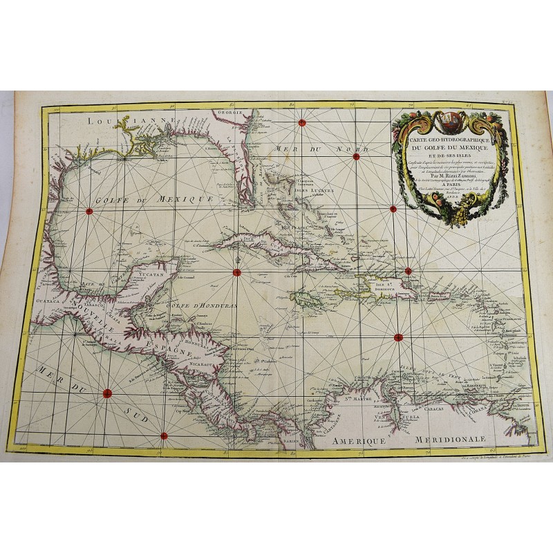
Carte Geo-Hydrographique du Golfe du Mexique et de ses Isles
Rizzi-Zannoni
Paris: Lattre, 1782
12 x 17-1/2 inches. Hand colored copper plate engraved map depicting the Gulf of Mexico, composed by famed French cartographer Rizzi-Zannoni, to be included in Atlas moderne ou collection de cartes sur toutes les parties du globe terrestre. In 1757 Zannoni had assisted in the surveying of the boundaries of the French and English possessions in North America. He became Chief Hydrographer of the Depot de la Marine and later the Geographer of the Republic of Venice.