Pescia, Ville De Toscane a 4 Lieves De Luqes
Pescia, Ville De Toscane a 4 Lieves De Luqes
Illustrator-Pierre Mortier
Pierre Mortier; Amsterdam, 1704
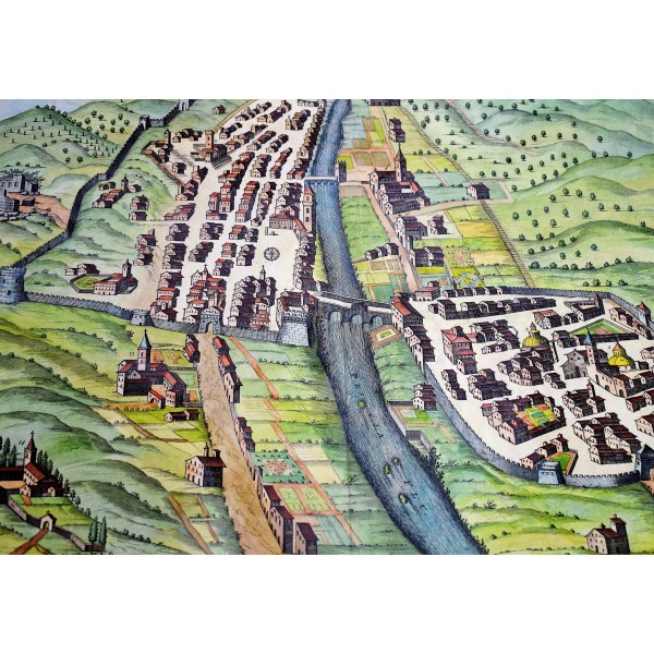
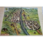
Original hand colored map of Pescia, Tuscany. Copper engraving. Crease at center fold of map. 50 x 58 cm. 14-1/2 x 17-1/2 inches. Colored coat of arms of Pescia at top of map. Birds-eye-view representation of the Pescia River and Tuscany, Italy, with 14 labeled points of interest described in lower-left margin. The cartographer, Pierre Mortier established himself in the field of cartographical publishing by offering editions of French maps, primarily Sanson's and Jaillot's to a public tired of the great but dated Dutch offerings. Working on a scale larger than the typical Dutch folio map and providing the new insights of French geography, he was immensely successful. Mortier reprinted and expanded Blaeu's "Theatrum Civitatum Italiae". This is a well-preserved example of his work. Scattered light stains bordering image. Illustrations remain clear and crisp, with vivid colors. A superior print in excellent condition.


