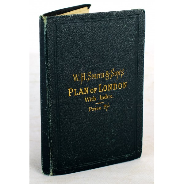
W. H. Smith & Son's Plan of London With Index
Click Image for Gallery
W. H. Smith & Son's Plan of London With Index
W. H. Smith & Son
W. H. Smith & Son, 1879
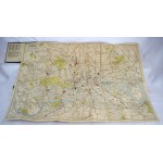
Green cloth. Large, color, linen-backed, folding map of London. 80 x 60 cm. Small tear on top center fold. Railway stations noted. Note: The tower bridge has not yet been built and is not present on this map. Map by John Bartholomew [adapted from Ordnance Survey]; with index to streets. Scale of map ca. 1:19495 (3.25 in. to 1 mi.). Early signature of Elinor M. Buckingham, Upper Norwood, 1890 on Visitor's Guide paste down.


