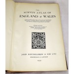
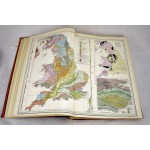
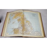
The Survey Atlas of England & Wales;: A Series of 81 Plates of Maps and Plans Illustrating the Physical Features, Geology, Climatology, Population, and Political Divisions of the Country, with Index
Click Image for Gallery
The Survey Atlas of England & Wales;: A Series of 81 Plates of Maps and Plans Illustrating the Physical Features, Geology, Climatology, Population, and Political Divisions of the Country, with Index
Bartholomew, J. G
Edinburgh & London : J. Bartholomew & Son, 1939
Tall folio, 46 cm. Leather spine over red boards. Spine leather partially cracked along front hinge. 81 double plates. This is an oversized or heavy book, which requires additional postage for international delivery outside the US.


