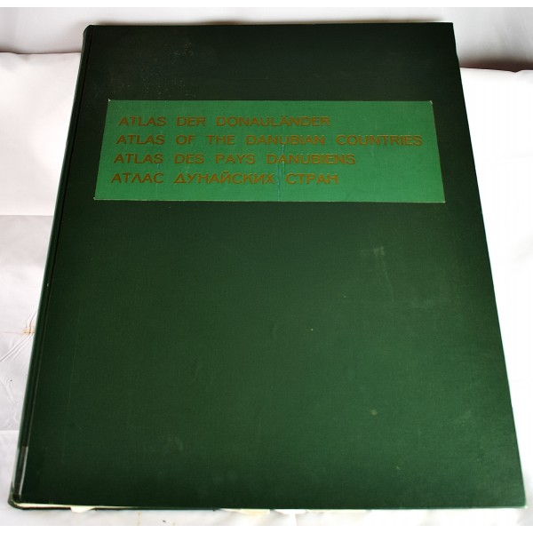
Atlas of the Danubian countries. Atlas der Donaulander. Atlas des pays danubiens. [Atlas dunaiskikh stran]
Click Image for Gallery
Atlas of the Danubian countries. Atlas der Donaulander. Atlas des pays danubiens. [Atlas dunaiskikh stran]
Josef Breu; Osterreichisches Ost- und Sudosteuropa-Institut
Wien, Deuticke in Komm, 1970
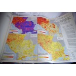
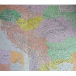
Atlas folio, 69 x 54 cm. 10 parts bound together, 1970-1989. Text in English, French, German, and Russian. Limited (noncirculating) university library reference markings. Good binding and cover. Clean, unmarked pages. Numerous large color maps and diagrams, many folding.
This is an oversized or heavy book, which requires additional postage for international delivery outside the US.
