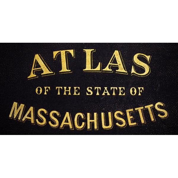
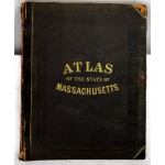
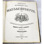
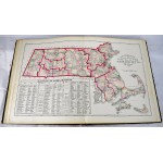
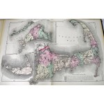
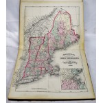
Official Topographical Atlas of Massachusetts / Atlas of the State of Massachusetts
Official Topographical Atlas of Massachusetts / Atlas of the State of Massachusetts
Henry Francis Walling; Ormando Willis Gray; Edward Appleton; Lorin Blodget; Charles H Hitchcock
Boston : Stedman, Brown & Lyon, 1871
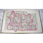
Bound in publisher's leather backed, brown cloth. Spine leather worn, partially split. 100, [22] pages: 27 maps (26 color, some double); 45 cm. 17 1/4" x 14" "List of cities, towns, villages, post-offices, railways, and telegraph stations in Massachusetts": pages 95-100. Lists of "patrons" in Boston and vicinity and in Berkshire, Franklin, Hampshire, and Hampden counties, arranged by business or occupation, p. [101]-[122]. Includes a business directory; census statistics for 1870; and a brief history of Massachusetts.
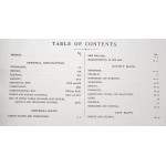
Contents: General description: Topography / by H.F. Walling --History / by A.H. Hoyt --Railways / by Edward Appleton --Geology / by C.H. Hitchcock --Climatology / by Lorin Blodget --General maps --County maps --City maps --Statistics.
Phillips, 14399; Phillips. Maps of America, p. 401; LeGear. Atlases of the United States, L1551.
