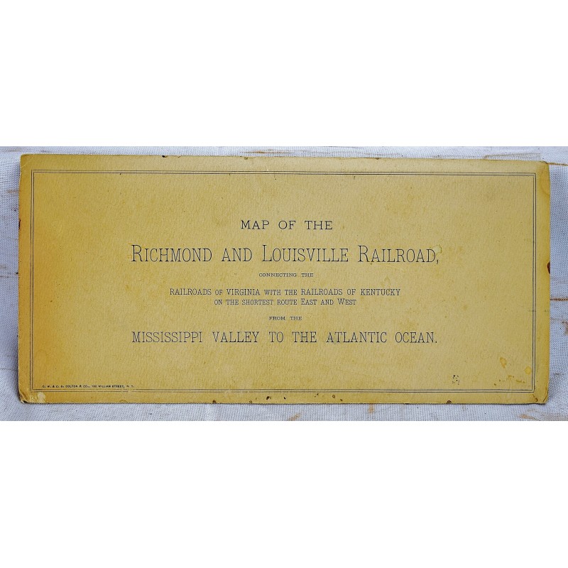
Map of the Richmond and Louisville R.R. Connecting the Railroads of Virginia with the Railroads of Kentucky on the Shortest Route East and West of the Mississippi Valley to the Atlantic Ocean [Map]
Click Image for Gallery
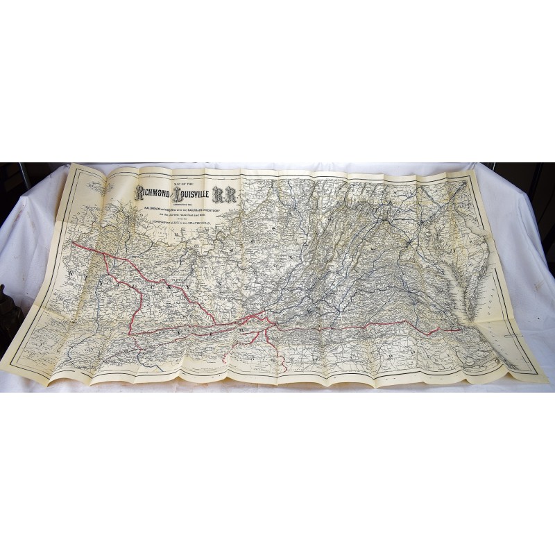
Map of the Richmond and Louisville R.R. Connecting the Railroads of Virginia with the Railroads of Kentucky on the Shortest Route East and West of the Mississippi Valley to the Atlantic Ocean [Map]
G.W. & C.B. Colton & Co.; Richmond and Louisville Railroad
G.W. & C.B. Colton & Co. No. 182 William St. New York. , 1882
Large Pocket Map, in original printed folder. 65 x 126 cm (27-1/4 x 50 inches). Lithographed map. Scale of 12 miles per inch. Outline color by state, with railroads colored in red and blue. Shows eastern United States and includes relief by hachures, drainage, cities and towns, county boundaries, and the railroad network in red. From Norfolk to Louisville. Includes: Virginia, West Virginia, Kentucky and Tennessee. Timber and coal regions are noted, along with the rivers, mountains, cities, and other details. Modelski, LC U.S. railroad maps, 546.