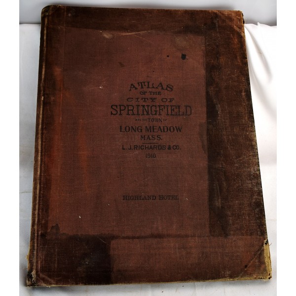
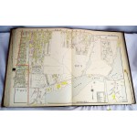
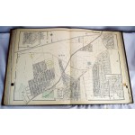
Atlas of the City of Springfield and the Town of Longmeadow, Massachusetts
Atlas of the City of Springfield and the Town of Longmeadow, Massachusetts
L.J. Richards & Co.
L.J. Richards & Co., 1910
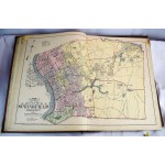
Atlas folio. [2] pages, [54] leaves of plates: color maps; 58 cm. Bound in publisher's cloth. Front board is stained. Internally very good. Hand-colored cadastral maps. Contains 27 maps on double plates (one folded). Includes "Index to Streets, Etc.", "Map of the city of Springfield, Massachusetts", and "New topographical map of Forest Park Springfield Mass." Maps show brick, stone, wooden, and iron buildings, barns, stables, and sheds, green houses, water pipes, fire hydrants, sewers, steam railroads, street railways, and fire alarm boxes.
This is an oversized or heavy book, which requires additional postage for international delivery outside the US.
