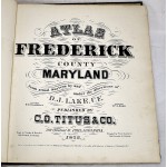
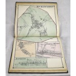
Atlas of Frederick County Maryland
Atlas of Frederick County Maryland
D. J. Lake (Cartographer)
C. O. Titus and Co., 1873
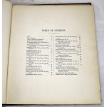
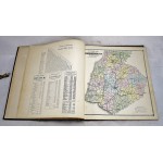
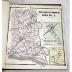
Bound in publisher's cloth. Hardcover. Binding shaken. Colored maps. 73 pages : color maps (some folded) ; 40 cm. Collated, complete. Contents: p.05 Outline Map of Frederick County, Maryland; p.07 Buckeystown, District 1; p.10-11 Frederick, District 2; p.13 Middletown, District 3; p.15 Creagerstown, District 4; p.17 Emmittsburg, District 5; p.19 Catoctin, District 6; p.21 Urbana, District 7; p.23 Liberty, District 8; p.25 New Market, District 9; p.27 Hauvers, District 10; p.29 Woodsborough, District 11; p.31 Petersville, District 12; p.33 Mt. Pleasant, District 13; p.35 Jefferson, Distict 14; p.37 Mechanicstown, Distict 15; p.39 Jackson, District 16; p.41 Johnsville, Distict 17; p.43 Woodville, District 18; p.45 Outline Plans of Frederick City; p.48-49 First Ward of Frederick City; p.52-53 Third, Fourth, Ninth & Tenth Wards of Frederick City; p.55 Fifth & Second Wards of Frederick City; p.58-59 Sixth, Seventh & Eighth Wards of Frederick City; p.62-63 Mechanicstown, Burkittsville, Point of Rocks & Jefferson; p.65 Emmittsburg & Urbana; p.67 Middletown; p.69 Liberty & New Market; p.71 Woodsborough, Graceham & Creagerstown; p.73 Lewistown, New London & Petersville; Principal Professional and Business Men and Producers of Frederick County, Maryland; Business Directory of Frederick County, Md; Map of Maryland and Delaware & District of Columbia; The United States of America.
Additional ephemera, large folding plot map of the town of New Market from the period, with hand drawn streets and plots listed.


