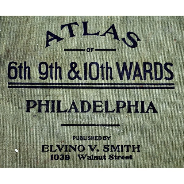
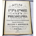
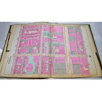
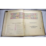
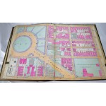
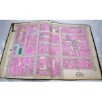
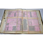
Atlas of the 6th, 9th & 10th Wards of the City of Philadelphia, from Private Plans, Actual Surveys & Official Records
Click Image for Gallery
Atlas of the 6th, 9th & 10th Wards of the City of Philadelphia, from Private Plans, Actual Surveys & Official Records
Elvino V Smith
Philadelphia : Smith, 1921
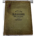
Atlas folio, 57 cm. Complete with 27 hand colored maps on 58 leaves. Maps on linen, as issued with numbered linen tabs. Waterstaining to bottom corner of later maps, but generally clean. Includes views of Market St., city wharves, subway lines, City Hall, Broad St., Franklin Square, etc. Scale of most maps 1:600 or 50 feet to an inch. Real property -- Pennsylvania -- Philadelphia -- Maps.
This is an oversized or heavy book, that requires additional postage for international delivery outside the US.
