Atlas de la Republique Tschecoslovaque = Atlas Republiky Ceskoslovenske
Atlas de la Republique Tschecoslovaque = Atlas Republiky Ceskoslovenske
Jaroslav Pantoflicek; Vaclav Jan Laska; Ceska akademie ved a umeni
Ceska Akademie Ved a Umeni, Praha, 1935
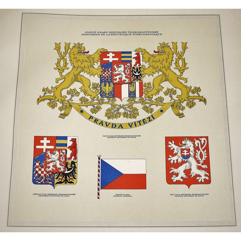
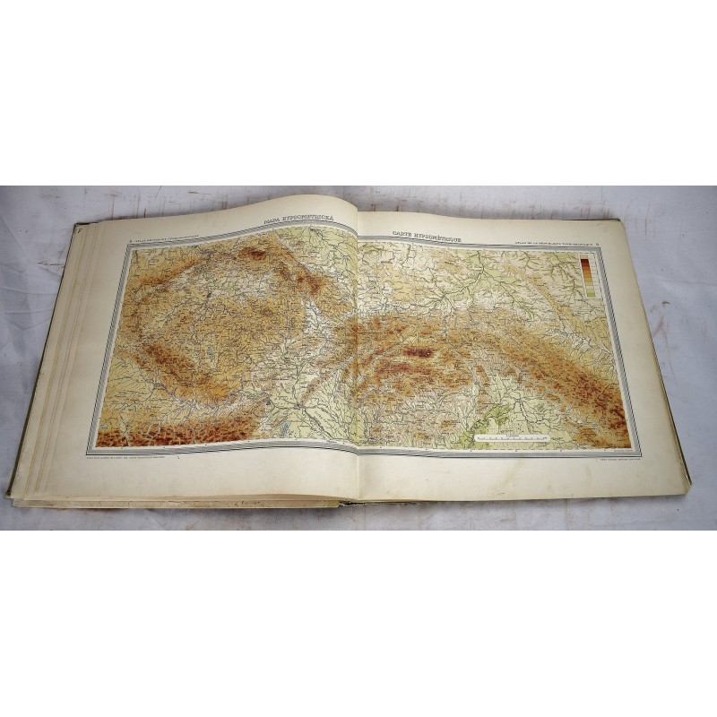
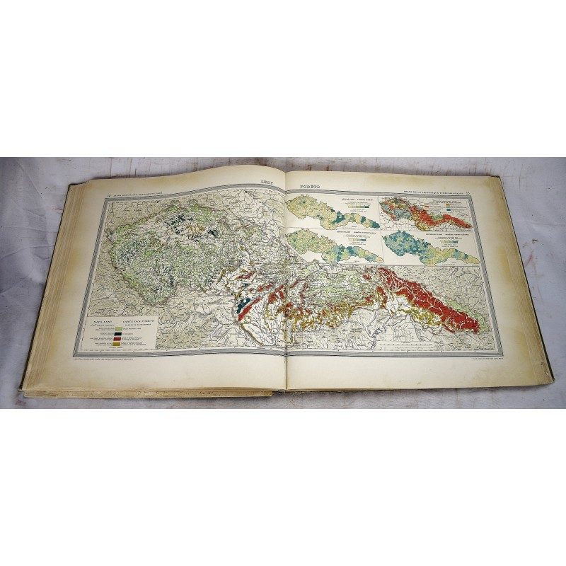
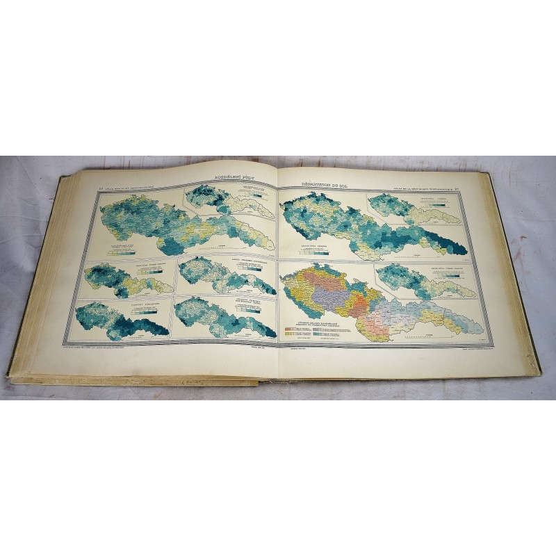
[The first national atlas of Czechoslovakia and is also considered as one of the first modern national atlases.] 44 x 46 cm. Bound in publisher's brown cloth, with national seal on front. Hardcover. Good binding and cover. Insect damage, the first ~20 text preliminary pages have significant loss to the outer margin, nearing the text. Maps are fine. 55 maps. " After the country gained independence from Austria-Hungarian monarchy it became a nationwide interest to publish a geographic and statistical atlas objectively and precisely presenting the nation's current state of society and economy. Published by the Czech Academy of Sciences and Arts; with the support of the Ministry of Foreign Affairs of the Czechoslovak Republic; The top editorial staff was led by Prof. Dr. Ing. Jaroslav Pantoflicek; The maps were technically executed by the Military Geographical Institute in Prague; The graphic design by the director Em. Purghart; Text in French and Czech, was printed by the Orbis book printing house in Prague; Bindings by A. skoda firm; Editorial work began in 1925, printing ended in 1935. Includes one page with 4 different coat of arms in stunning colors, 55 large double-page of thematic maps from geography, geology, climate, society, culture, industry, agriculture, transport, economy, national and international trade. Includes 37 pages of text at the end of atlas, with title page: Atlas Republiky ceskoslovenske; textovy doprovod k mapam redigoval Vaclav Laska" - David Rumsey Map Collection.