Asher & Adams' New Commercial, Topographical and Statistical Atlas

Asher & Adams' New Commercial, Topographical and Statistical Atlas and Gazetteer of the United States; with Maps Showing the Dominion of Canada, Europe and the World...
Asher & Adams
Asher & Adams, 1872.
Elephant Folio. 45 cm. 120, 253 pages: 30 hand-colored maps. Modern 3/4 red leather over original green cloth, new endpapers. Title and a few pages have minor marginal chipping. Light tanning to margins and offsetting to maps.
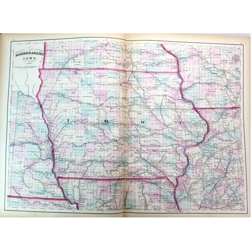
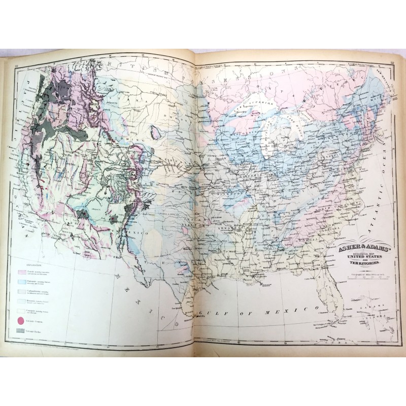
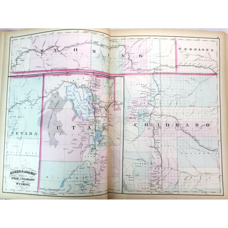
"Asher & Adams' Atlas was most notable for its excellent large-format maps of the states west of the Mississippi. The atlas includes a world map on Mercator's projection, a map of Europe, a United States and Territories map, a geological map of the US, and numerous state maps. The maps of Kansas and Nebraska depict the western portion of the states as largely unorganized, and the map of Texas only includes the eastern portion of the state. An extensive index at the back indicates locations of money order offices, post offices, and railroad stations. The atlas also includes populations by city, county, state, and territory for the US and part of Canada, as well as 10 pages of classifications of prominent firms of New York, Maine, and Cincinnati, Ohio." - Old World Auctions, Lot 138, 2011. Phillips Atlases 1270. This is an oversized or heavy book, that requires additional postage for international delivery outside the US.