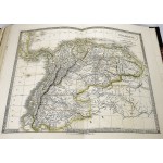
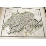
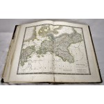
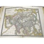
A New General Atlas, with the Divisions and Boundaries Carefully Coloured
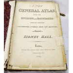
A New General Atlas, with the Divisions and Boundaries Carefully Coloured
Sidney Hall; (Sydney)
London: Longman, Rees, Orme, Brown and Green, 1834
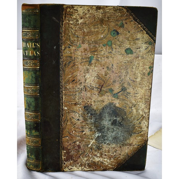
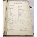
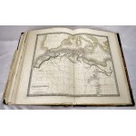
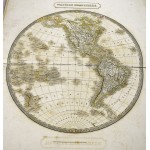
[General Atlas of the world circa 1830] Bound in contemporary 1/2 green morocco, over worn, marbled boards. Folio, 51 x 35 cm. 53 hand colored maps (in outline). Scattered soiling,spotting, staining. Tears / wear to pages. Title page detached but included. Marginal tear to top of Austro-Hungarian map, and map of Greece (with slightly loss to map). Map of Britain worn at edges, split. Sidney Hall' engravings would eventually be used for Black's Atlas'. In 1840 he collaborated with A. & C. Black to produce Black's General Atlas. Earlier edition in this format 1830.
This is an oversized or heavy book, which requires additional postage for international delivery outside the US.
