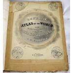
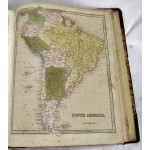
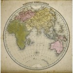
A General Atlas Of The World, With A Separate Map Of Each Of The United States Of America.
A General Atlas Of The World, With A Separate Map Of Each Of The United States Of America.
Samuel G. Goodrich; Thomas G. Bradford; G.W. Boynton
Boston: S.D. Strong, 1841
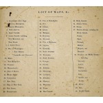
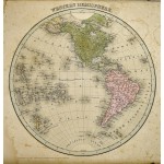
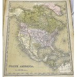
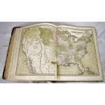
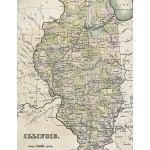
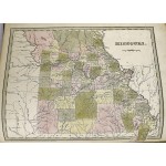
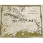
[The Republic of Texas: Texas as an independent nation] Folio, 41 x 33 cm. Bound in publisher's quarter green leather over marbled paper-covered boards, gilt-lettered brown morocco cover label. Rebacked, with original spine preserved. Held in custom-made, leather-backed, and marbled clamshell case. Corners and spine heavily rubbed. Hand colored. Illustrated with 51 sheets of maps, tinted lithographic title page, including the double page United States Map. Map 42 depicts the Republic of Texas, showing the republic's constituent colonies and grants. Some toning, offsetting. Light restoration work to a few maps. Old dampstain to rear plates, mostly marginal. "This is the Bradford 1838 Illustrated Atlas, without the text and with the addition of ten maps: two hemispheres, South America, Atlantic Ocean, Europe (3), Africa, Asia, and Pacific Ocean... However, many of the maps in this 1841 edition are somewhat different from the 1838 and 1842 editions, with the usual changes in counties, etc." - David Ramsey, P6092. Quite rare, Yale and Stanford have the only known institutional copies of this atlas.
This is an oversized or heavy book, which requires additional postage for international delivery outside the US.


