The Royal Atlas Of England And Wales Reduced From The Ordnance Survey. A Complete Series Of Topographical Maps Physical And Statistical Charts Town Plans And Index Of 35 000 Names
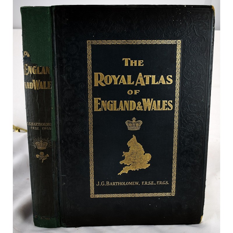
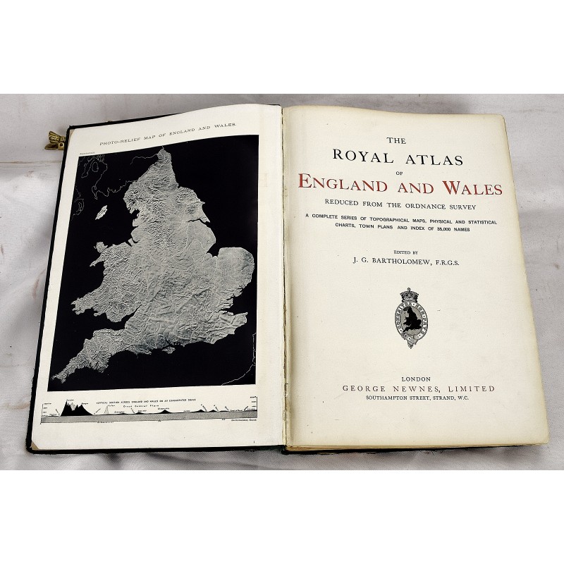
The Royal Atlas Of England And Wales Reduced From The Ordnance Survey. A Complete Series Of Topographical Maps Physical And Statistical Charts Town Plans And Index Of 35 000 Names
John Bartholomew and Son.
George Newnes Limited, 1898
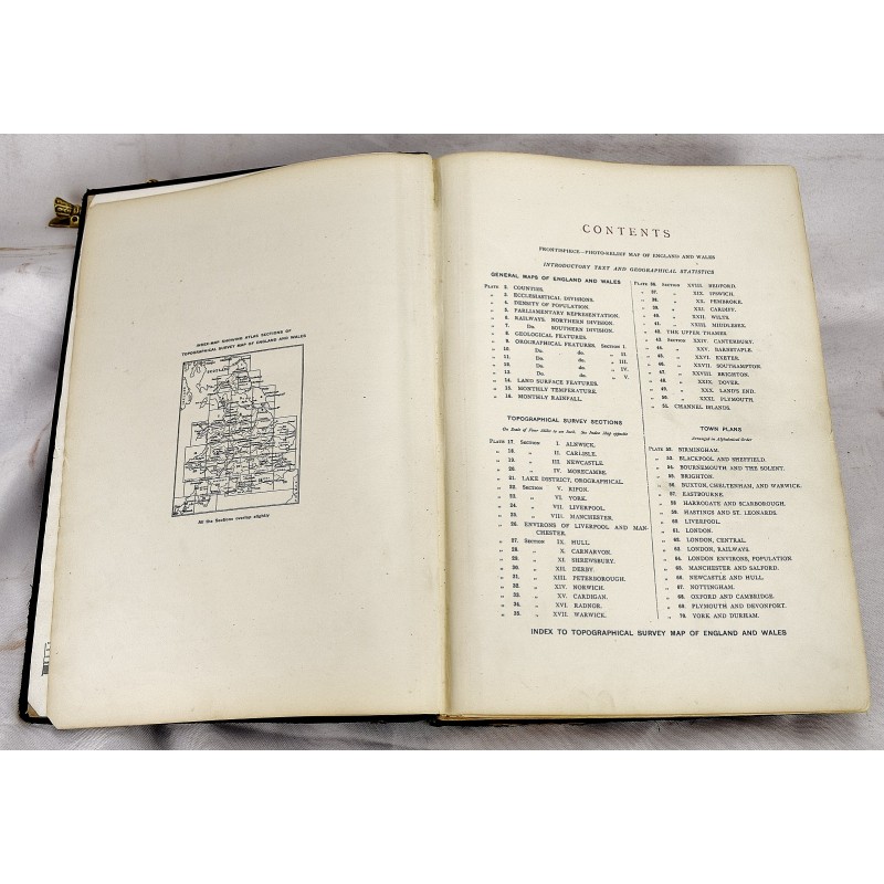
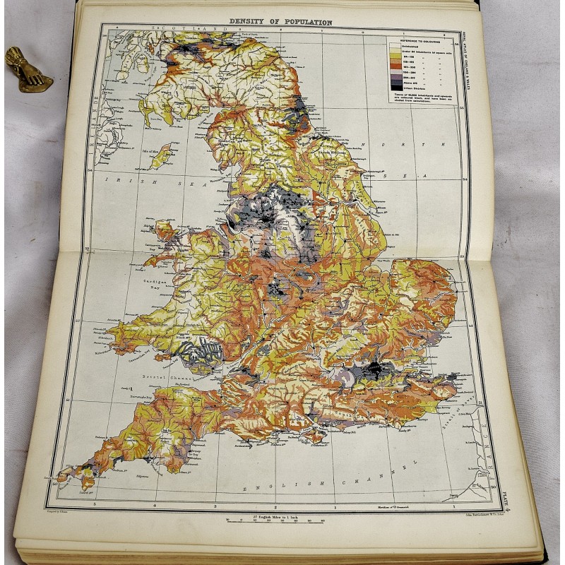
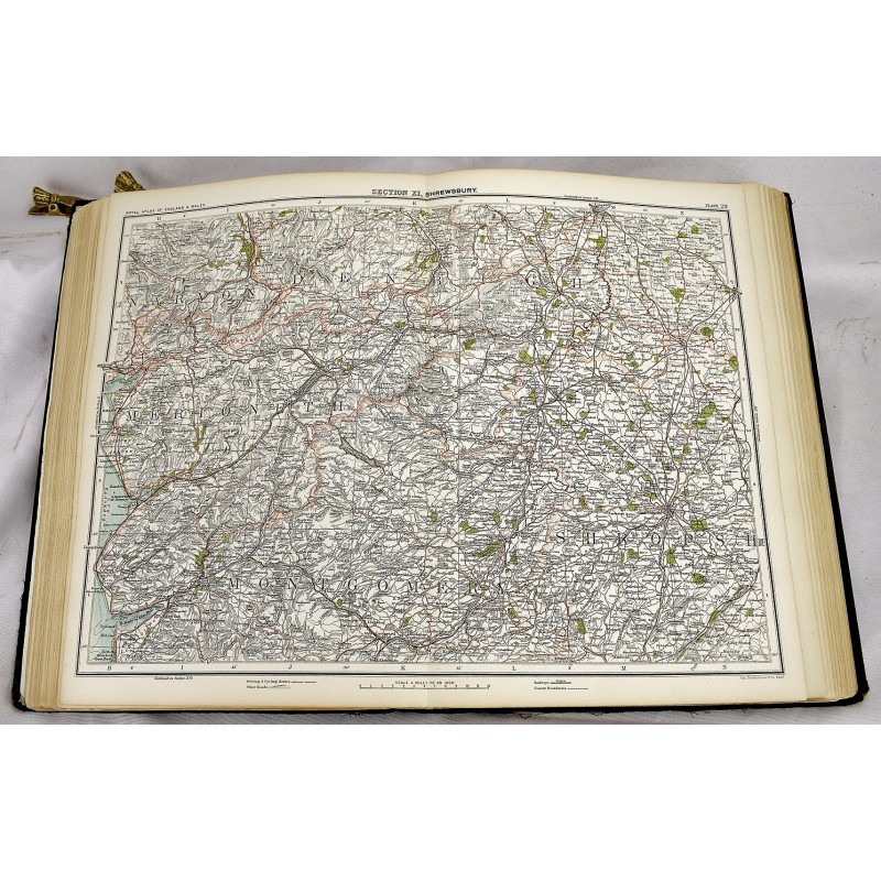
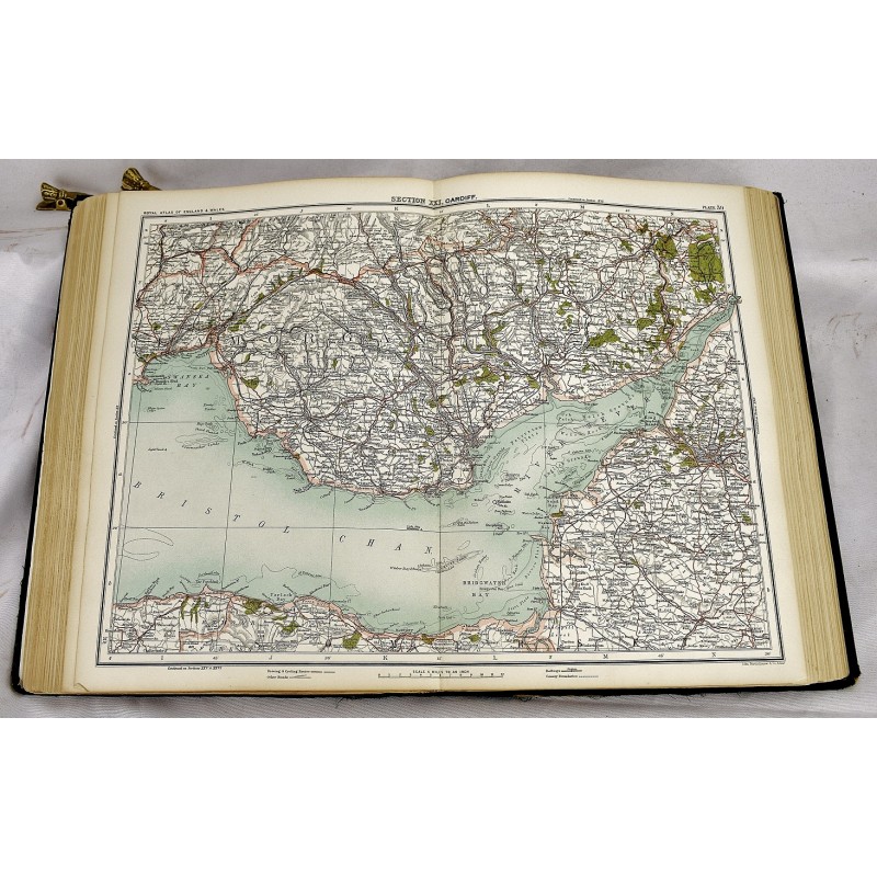
(N.D., circa 1898-1900.) Folio, 37 cm. Bound in publisher's green cloth, with blind stamped decoration and gilt cover. Spine rebacked, with partially replaced cloth. Solid binding. xii, [140], 72 pages (index): 70 maps. Maps in color, many double page. Includes city and street plans, statistical charts, and parliamentary representation divisions. Index of towns, boroughs, cities, etc. organized alphabetically including the county at the beginning of the volume. Includes: General map of England and Wales; Detailed maps of county divisions, parliamentary, parishes, etc.; Statistical tables of climates; Maps of geographical features; Railway maps; Town plans; Census population counts.
This is an oversized or heavy book, which requires additional postage for international delivery outside the US.