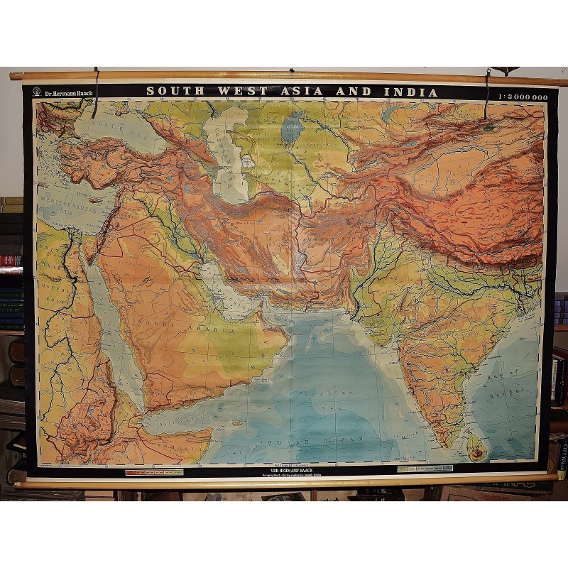
South West Asia and India (Large Pull Down Map)
Click Image for Gallery
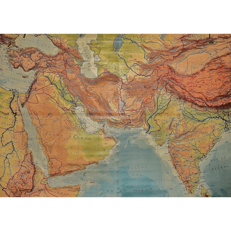
South West Asia and India (Large Pull Down Map)
Hermann Haack, Hermann Haack Geographisch-Kartographische Anstalt Gotha
EB Hermann Haack, Geographisch-Kartographische Anstalt, Gotha, 1956
[Physical map of Asia and India] 160 x 220 cm. Mounted on linen, wood rods top and bottom. Middle hanging ring broken. Scale 1:3,000,000, (E 25 00'--E 95 00'/ N 45 00'--N 10 00'). Shows international boundaries, principal cities, transportation facilities (railways, roads, desert tracks, waterways), and petroleum pipe lines. Relief shown by hachures and spot heights. Depths shown by gradient tints, form lines, and soundings. Note: This is a large, heavy map. Additional postage will apply depending on delivery location.