Report of the Superintendent of the Coast Survey, Showing the Progress of the Survey During the Year 1864
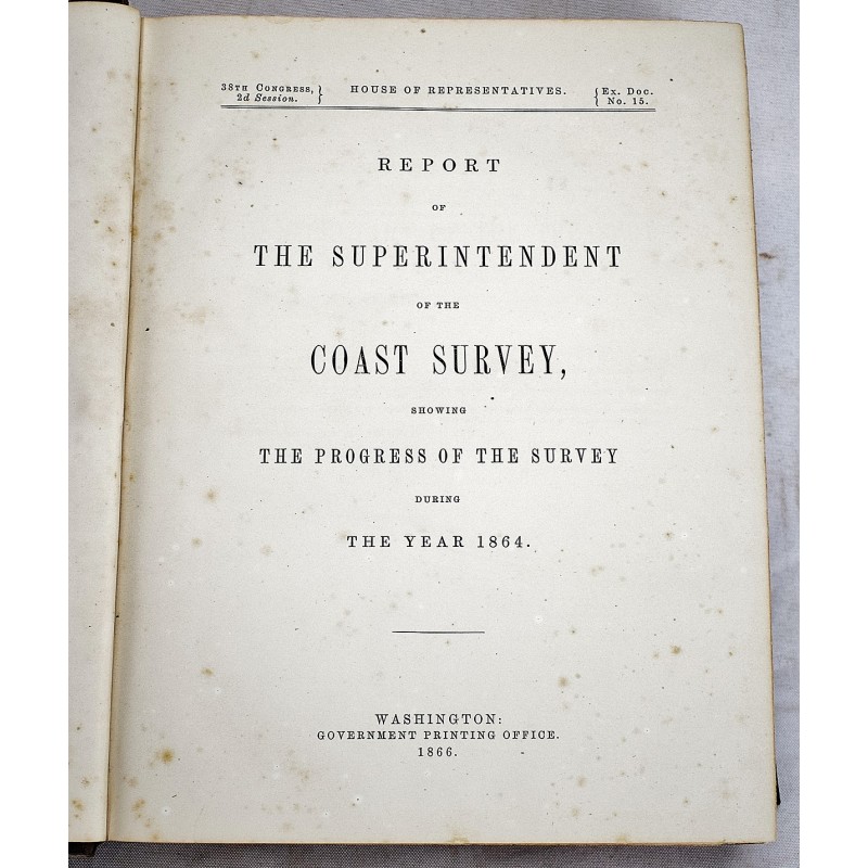
Report of the Superintendent of the Coast Survey, Showing the Progress of the Survey During the Year 1864
United States Coast Survey; A.D. BACHE
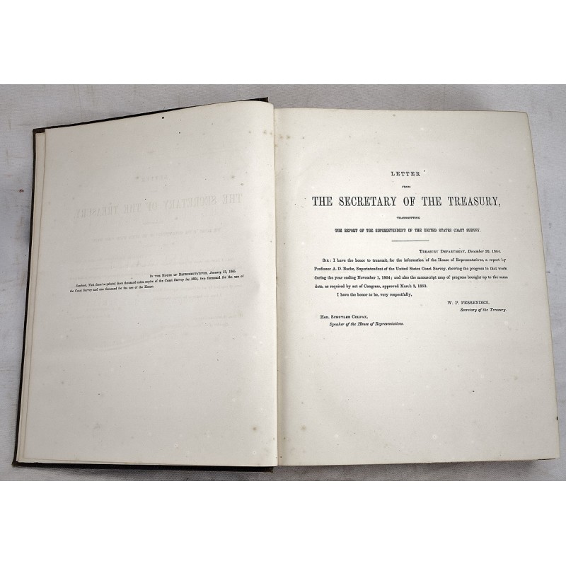
Government Printing Office, 1866
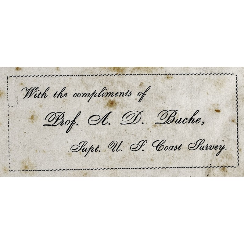
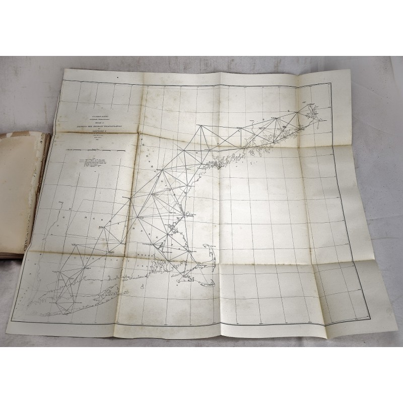
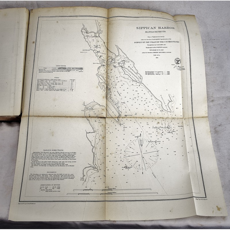
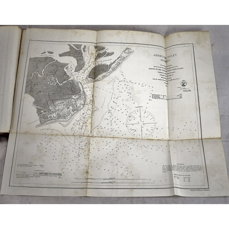
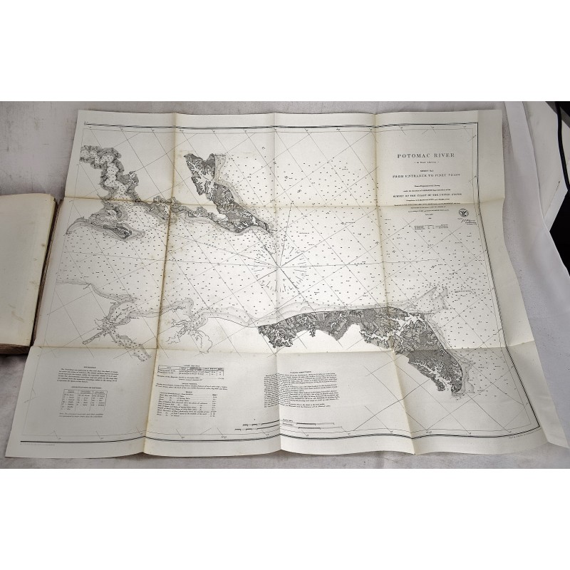
[Civil War Coastal Survey with Early Maryland Provenance: General James McSherry Coale's copy.] Quarto, 11 x 8 3/4 inches. Bound in the publisher's brown cloth. Some fading to the cloth. Includes Prof. A.D. Bache's compliments card. Hardcover. Good binding and cover. Complete with 39 folding maps & plates. xiii, [1], 315, [3] text pp. Some spotting to end pages, generally clean besides. Minor silverfish damage to the margin of one page. House of Reps., 38th Congress, 2nd Session, Ex. Doc. 15. Shows United States coastlines from east to west, with Rockport (Maine), Long Island Sound, Chesapeake Bay, the Potomac, the Mississippi, the Pacific (from Point Pinos to Bodega Head), and diagrams of the tides in Tahiti.
From the Coale-Sappington family of Libertytown, Maryland, by descent from J. M. Coale. James Coale (1805-1882) was a prominent attorney from Frederick County, MD who had been a Brigadier General in the 9th Brigade, Maryland Militia before the war. Coale was the President of C&O Canal and a member of the Maryland House of Delegates (1852-1862). Coale notably wrote letters to Abraham Lincoln protesting the imprisonment of members of the Maryland legislature during the Civil War. Inscription from U.S. Congressman Francis Thomas to Coale.