Report of the Secretary of War, Communicating, in Answer to a Resolution of the Senate, a Report and Map of the Examination of New Mexico
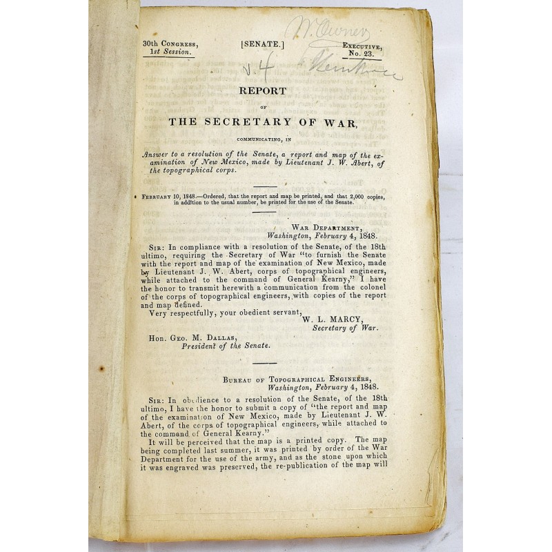
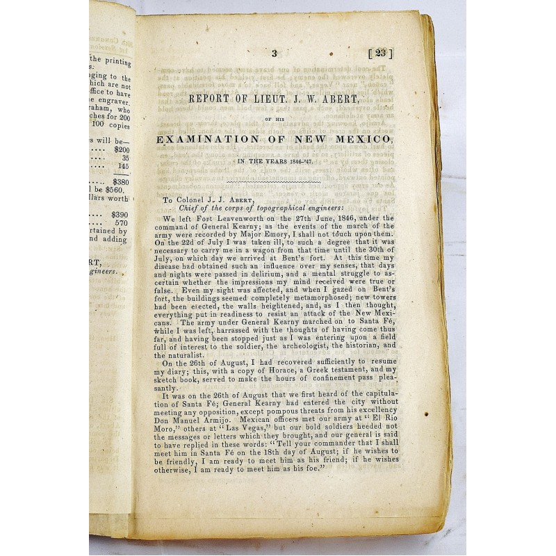
Report of the Secretary of War, Communicating, in Answer to a Resolution of the Senate, a Report and Map of the Examination of New Mexico
J W Abert; United States. Army. Corps of Topographical Engineers; William L. Marcy
U.S. Government Printing Office, Depart of War, 1848
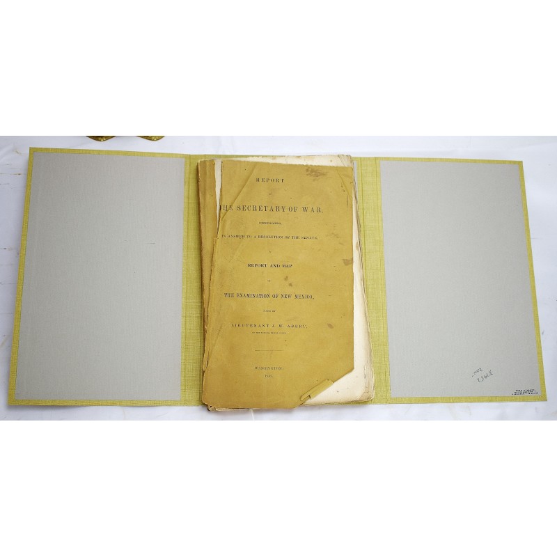
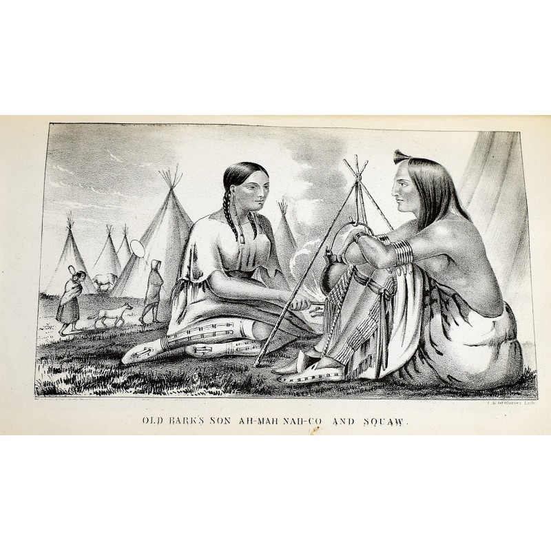
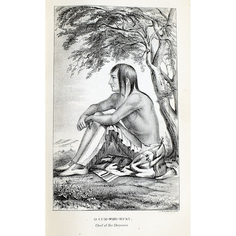
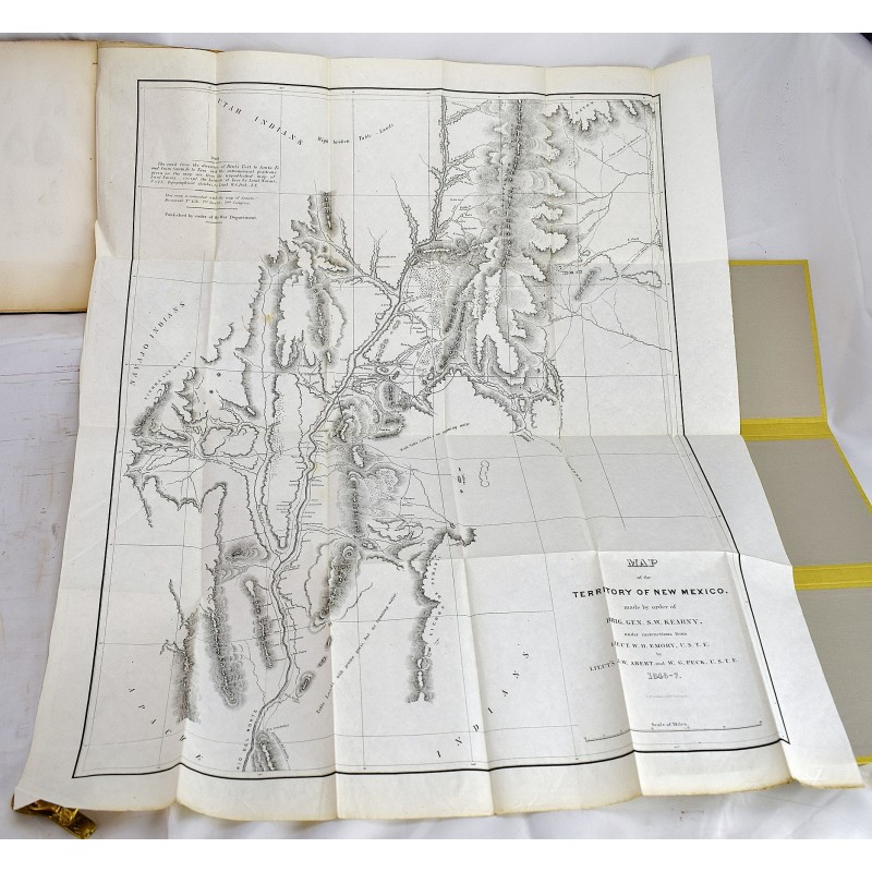
1st edition, Senate issue. Housed in a custom made morocco leather backed slipcase. Bound by Jacques Desmonts, James Macdonald, Norwalk Conn. 24.5 cm. Bound in original printed wrappers. Wraps are worn, and nearly detached. Loss to bottom corner of front and rear wrap. Contemporary signature on front wraps. 132 pages: 24 plates, folded map; 24 cm. Large folding lithographic "Map of the Territory of New Mexico." Pages are clean and unmarked. Includes plates of Santa Fe, Fort Marcy, San Felipe, and Native Americans. Howes A-11; Sabin 57; Wagner-Camp 143; Streeter I.168; Graff 5, Rittenhouse 2. One of the earliest U.S. government sponsored explorations of the Southwest. James Abert left Ft. Leavenworth in Kansas along the Santa Fe trail in order to map the newly won territory. He made his way via Bent's Fort and returned to back His map was the most detailed up to that point. Abert had served in Gen. Stephen W. Kearny's Army of the West in the Mexican American War and had been part of Fremont's earlier California expedition. 30th Cong., 1st sess. Senate. Ex. doc., no. 23.