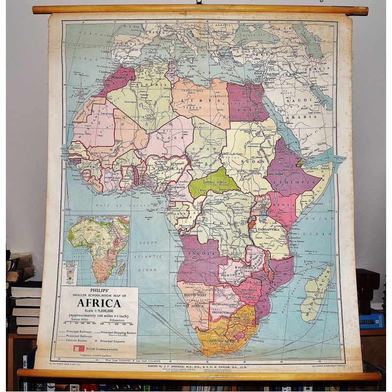
Philips' Smaller School-Room Map of Africa (Large Pull Down Map)
Click Image for Gallery

Philips' Smaller School-Room Map of Africa (Large Pull Down Map)
George Philip & Son, London Geographical Institute
George Philip ; Denoyer-Geppert Co., 1963
106 x 94 cm. Large wall map, with wooden rods, top and bottom. Some spotting to the map. "Projection: Azimuthal equidistant." Relief shown by spot heights.
Note: This is a large, heavy map. Additional postage will apply depending on delivery location.