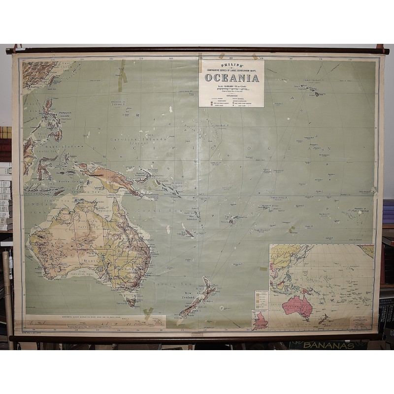
Oceana: Philips' Comparative Series of Large School Maps (Large Pull Down Map)
Click Image for Gallery
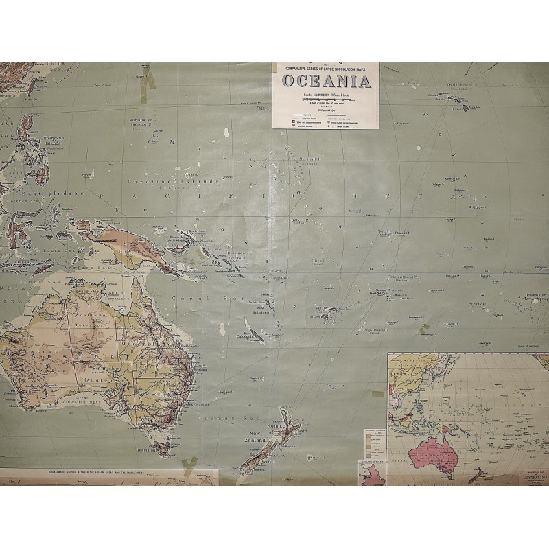
Oceana: Philips' Comparative Series of Large School Maps (Large Pull Down Map)
George Philip & Son, London Geographical Institute
George Philip & Son, 1930
[Very Large Map of Australia, New Zealand, New Guinea, Hawaii, the Philippines (listed as American possessions) and the Oceanic islands, Coral Sea, Japan is shown as owning the Marshall and surrounding Caroline islands] 180 x 162 cm. Color map mounted on muslin, wood rods, top and bottom. Map in generally good condition, with a few small cracks. Some cracks have been taped, a few chips to paint with minor loss. Minor fraying to edge. No date, presumed circa 1930s. Includes insert map of Australasia. Note: This is a large, heavy map. Additional postage will apply depending on delivery location.