Lewis's Atlas Comprising the Counties of Ireland and a General Map of the Kingdom
Click Image for Gallery
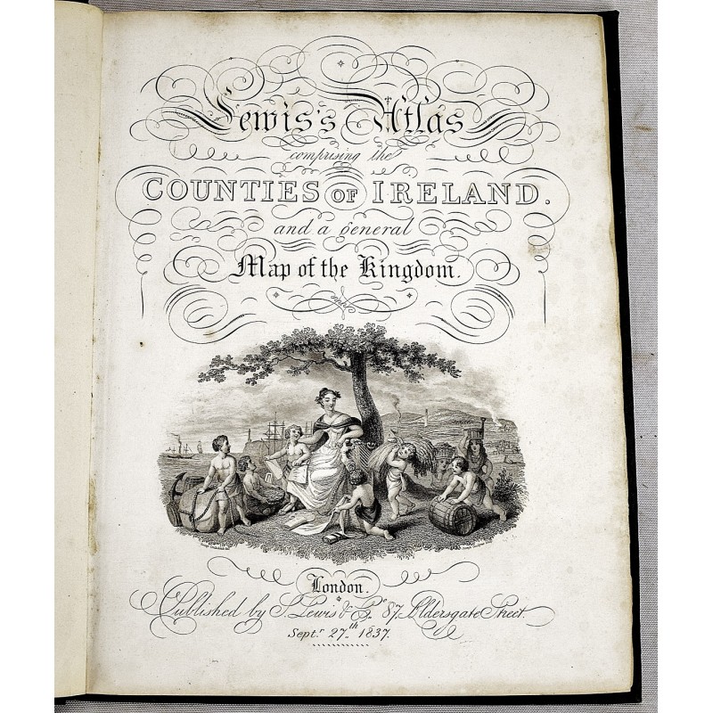
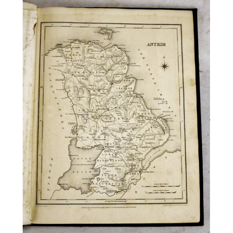
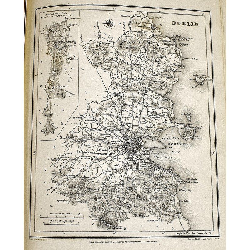
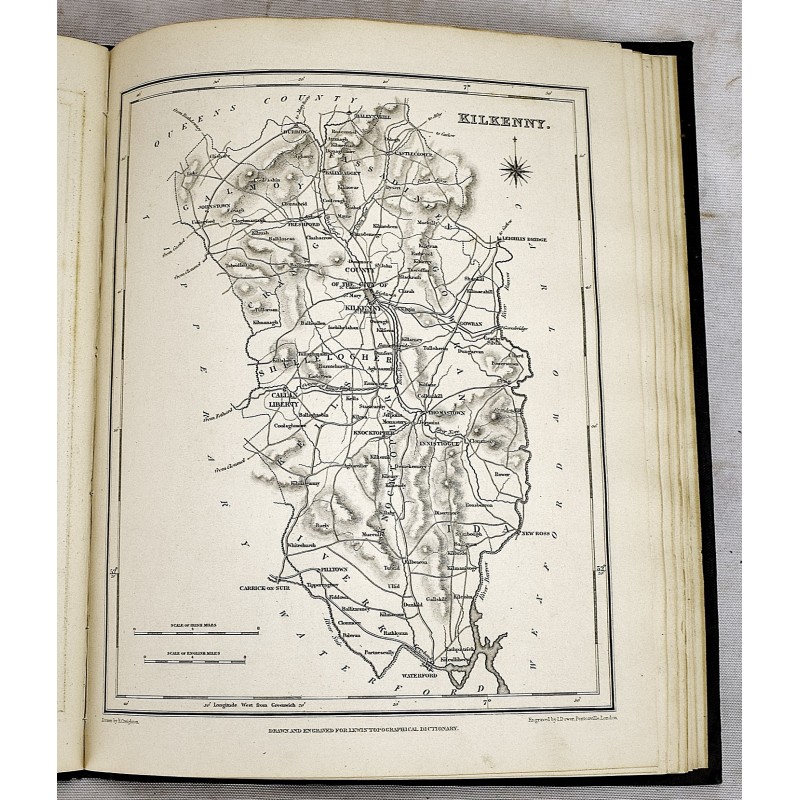
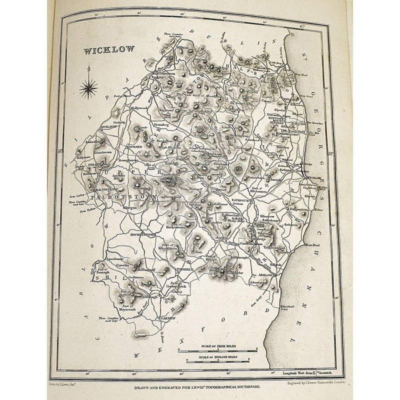
Lewis's Atlas Comprising the Counties of Ireland and a General Map of the Kingdom
Samuel Lewis
S. Lewis & Co, London, 1837
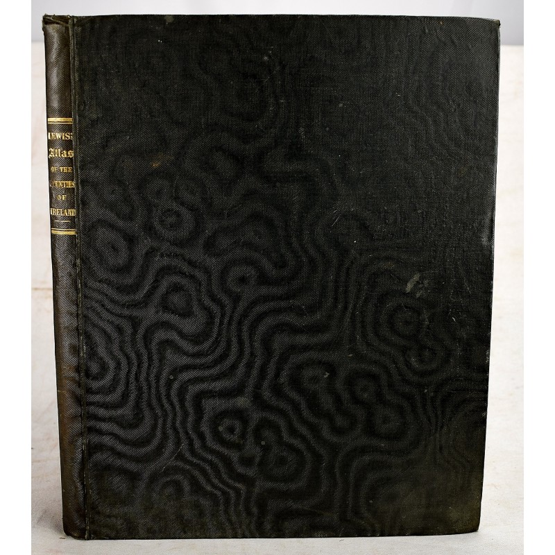
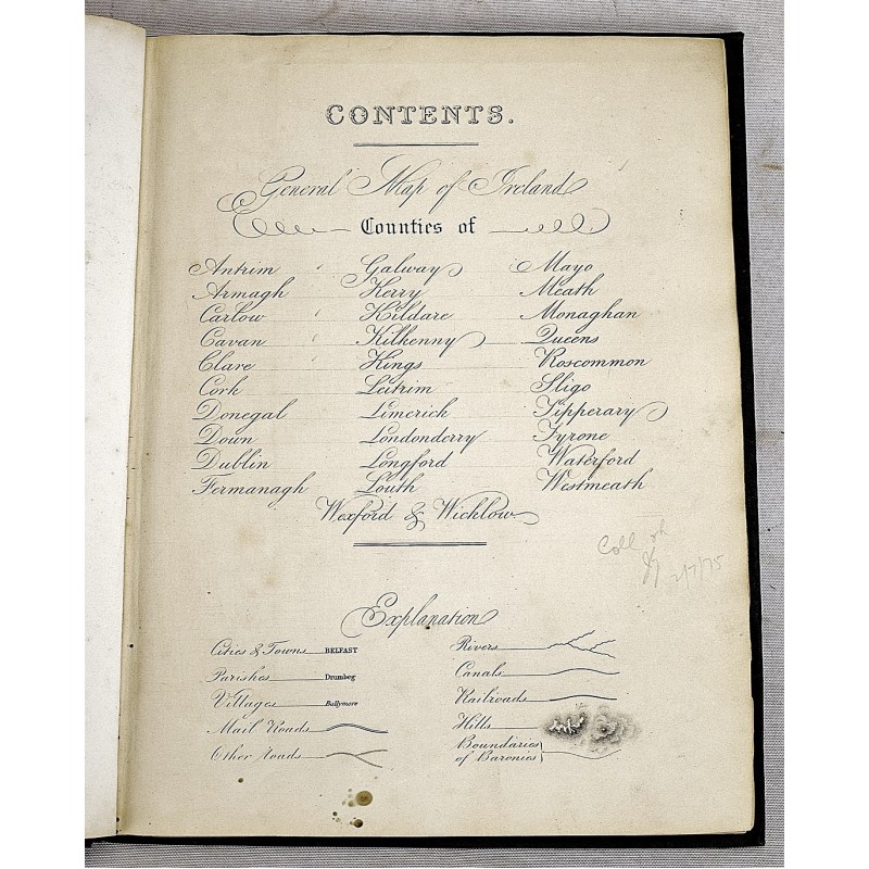
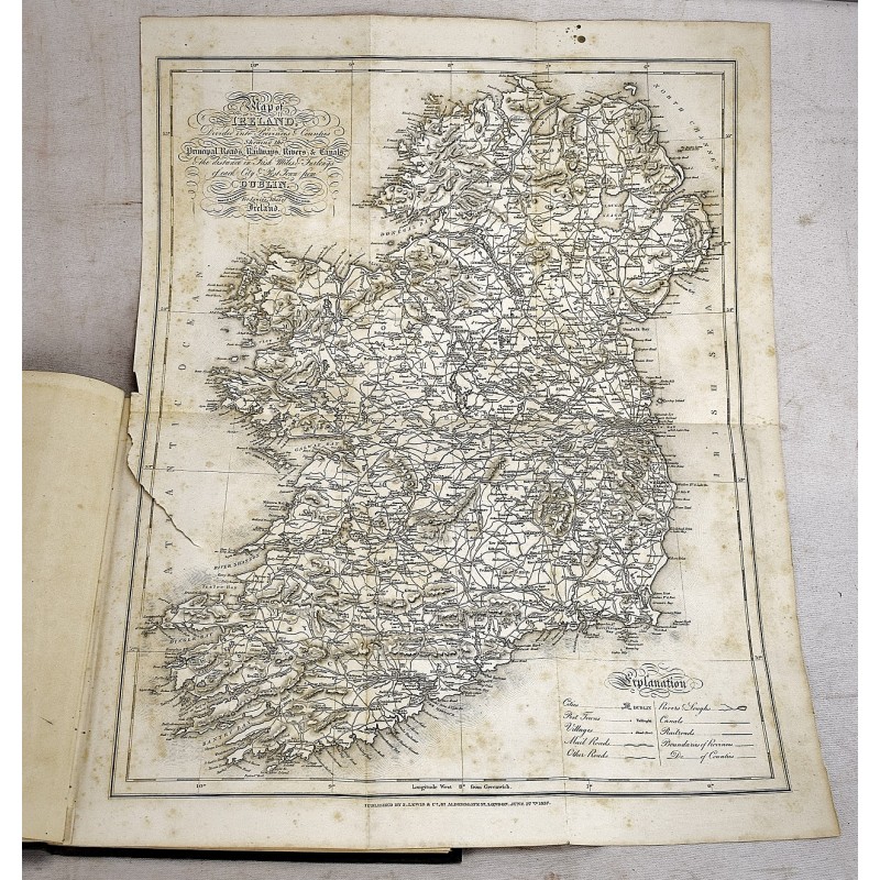
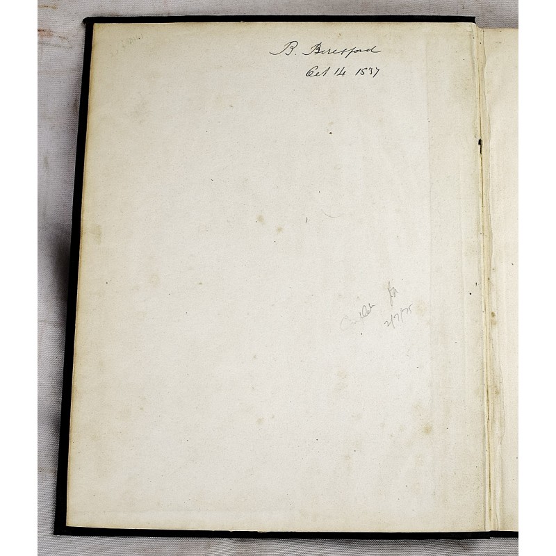
[Maps of Early 19th Century Ireland] An attractive copy. Quarto; 33 cm. Bound in handsome contemporary cloth. Gilt lettered spine. 2 preliminary leaves, 33 colored maps (including folding map of Ireland).