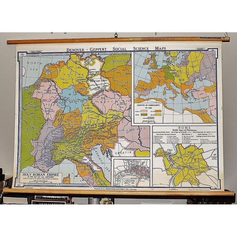
Holy Roman Empire (Large Pull Down Map)
Click Image for Gallery
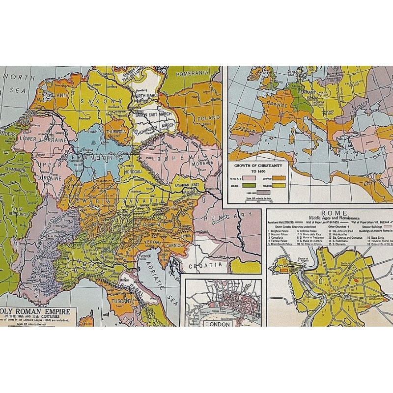
Holy Roman Empire (Large Pull Down Map)
Samuel Bannister Harding, L. P. Denoyer, R. Baxter Blair, Denoyer-Geppert Company
Denoyer Geppert Co., Chicago, ILL, 1964
86 x 112 cm. Color map mounted on muslin, wooden rods top and bottom. Scale [ca. 1:2,027,520]. 1 in. to 32 miles. Contents:Holy Roman Empire in the 10th and 11th centuries; Growth of Christianity to 1400; Rome, Middle Ages and renaissance; London about 1300. Denoyer-Geppert social science maps, H3. Note: This is a large, heavy map. Additional postage will apply depending on delivery location.