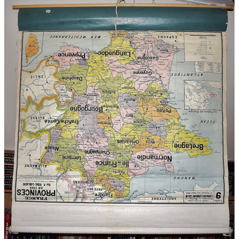
France : Provinces en 1789 (Large Pull Down Map)
Click Image for Gallery
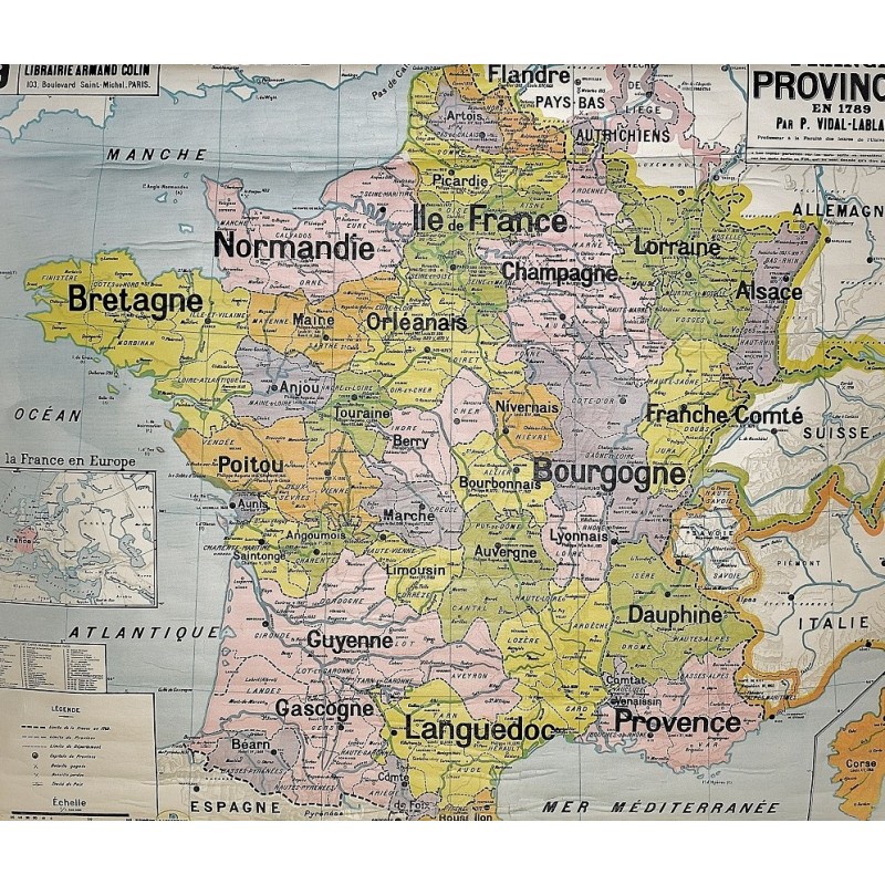
France : Provinces en 1789 (Large Pull Down Map)
Paul Vidal-Lablache
A. Colin, Paris, 1921
[Historical Map of France] 105 x 89 cm. Color map mounted on muslin, wood rods top and bottom. Some chipping, wear. Creases from rolling. Scale 1:1100000. Collection de cartes murales parlantes, carte no 9. Note: This is a large, heavy map. Additional postage will apply depending on delivery location.