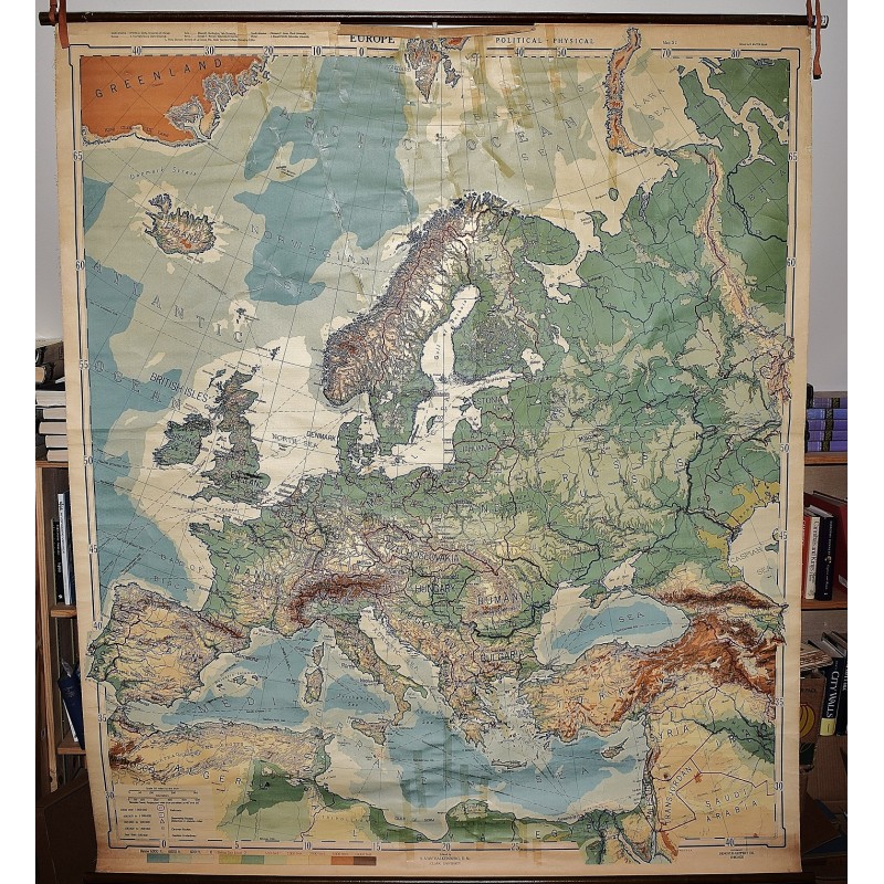
Europe (Large Pull Down Map)
Click Image for Gallery
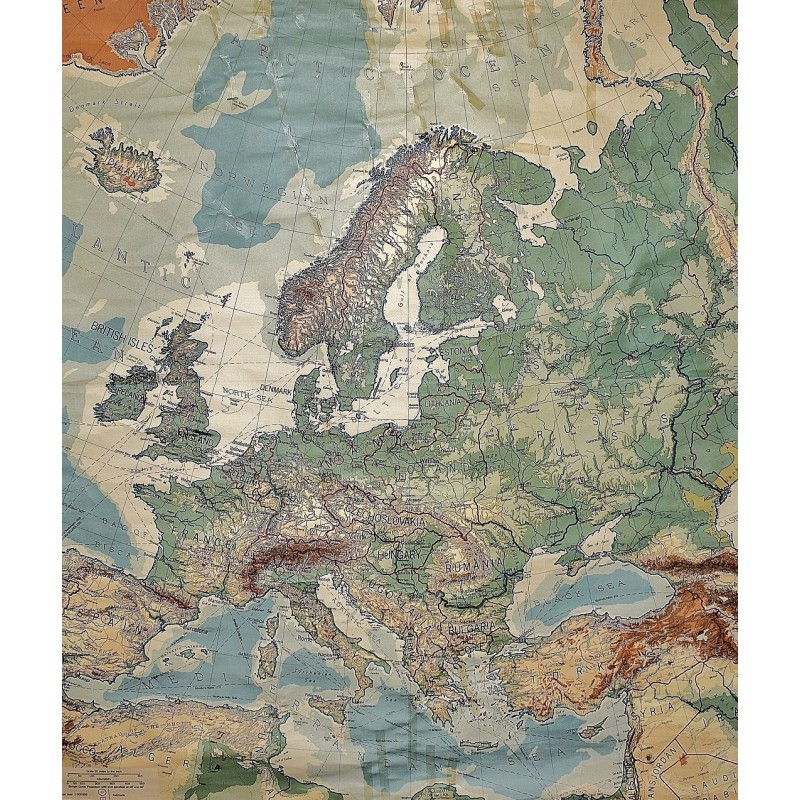
Europe (Large Pull Down Map)
R. Baxter Blair, Levinius Philippus Denoyer, Samuel Van Valkenburg, Denoyer-Geppert (Publisher)
Denoyer Geppert Co., Chicago, 1939
[WWII era Map of Europe, with the German Reich's borders including Austria, Poland is separated into two parts but still listed as a country] 162 x 188 cm. Color map, mounted on muslin, wood rods top and bottom. Some fraying at outer edge where the top wooden rod connects with the map. Scale 1:4,700,000; Simple conic projection.
Note: This is a large, heavy map. Additional postage will apply depending on delivery location