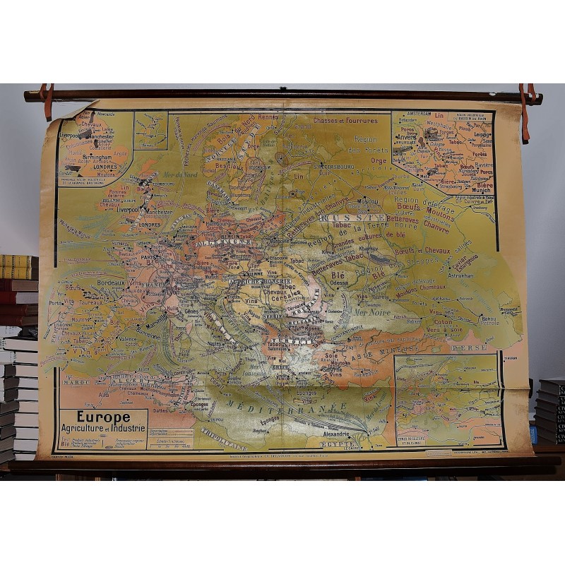
Europe: Agriculture et Industrie
Click Image for Gallery
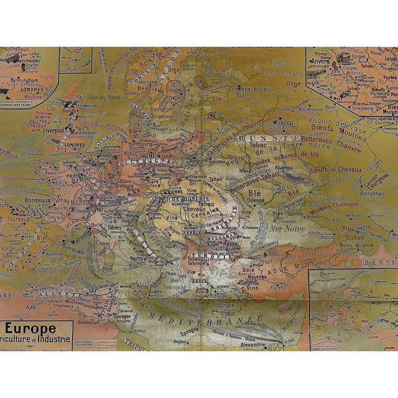
Europe: Agriculture et Industrie
Dufrenoy, Deschryvere
Insitut Geographique, CH. DELGRAVE, 15 Rue, Souffot, Paris. 1914
[Pre-WWI French Map of Europe] 125 x 93 cm. Large wall map, with wooden rods, top and bottom. Some cracks, mostly along top margin near wooden rod. Scale 1:4.500.000. Four inset maps of Region Industrielle du Bassin Du Rhin, Principale Region Industrielle de la Grande Bretagne, Scandinavia, Zones du Culture et de Climat. Note: This is a large, heavy map. Additional postage will apply depending on delivery location.