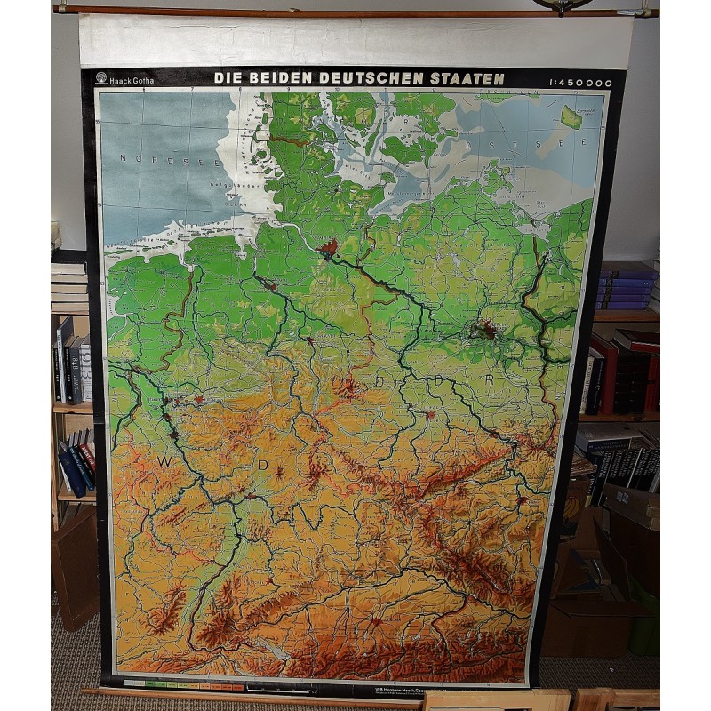
Die Beiden Deutschen Staaten: Politisch (Large Pull Down Map)
Click Image for Gallery
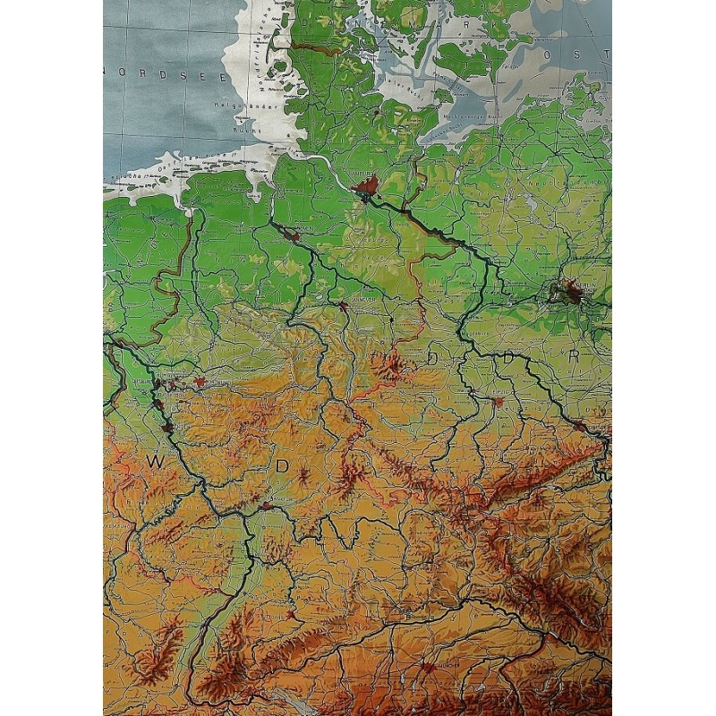
Die Beiden Deutschen Staaten: Politisch (Large Pull Down Map)
Hermann Haack Geographisch-Kartographische Anstalt Gotha, Hans Richard Fischer, Kurt Witthauer, Wolfgang Steinbrück, Justus Perthes (Firm : Gotha, Germany)
VEB Hermann Haack Geographisch-Kartographische Anstalt, Gotha, 1968
[20th Century Germany] 160 x 225 cm. Mounted on muslin, wood rods top and bottom Scale of sectional maps 1:450,000. Relief shown by spot heights. Area includes part of the neighbouring countries in outline. Shows international boundaries, administrative divisions, towns by population symbols, roads classified, railways classified, and landmarks. Editors: 1953-56, H.R. Fischer (with W. Steinbruck); 1958-59, K. Witthauer; 1961- W. Steinbruck.