Atlas of the Reading Main Line : Montgomery Co. Penna, from Official Plans and Records and Actual Surveys. Volume one

Click Image for Gallery
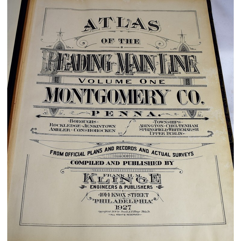
Atlas of the Reading Main Line : Montgomery Co. Penna, from Official Plans and Records and Actual Surveys. Volume one
Frank H M Klinge
Frank H.M. Klinge, 1927
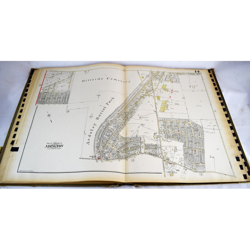
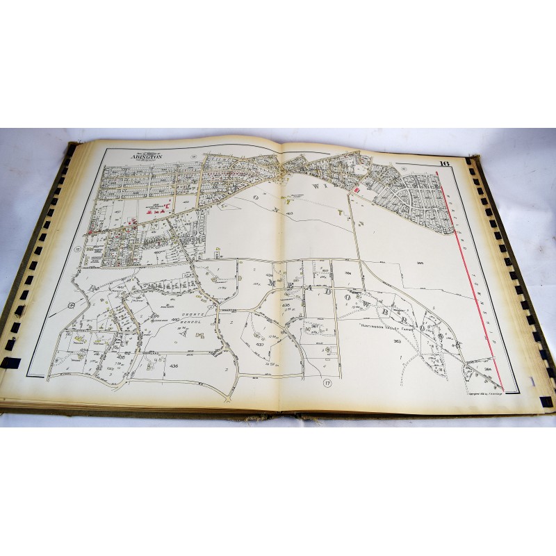
Folio, 60 cm. 35 double-page, hand-colored, maps. Cadastral maps of "Boroughs -- Rockledge, Jenkintown, Ambler, Conshohocken and townships -- Abington, Cheltenham, Springfield, Whitemarsh, Upper Dublin." Index map. Minor toning internally. Tabs intact. Bound in publisher's cloth. Binding is stained and worn, with corners scuffed.
This is an oversized or heavy book, which requires additional postage for international delivery outside the US.