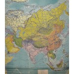
Asia (Large Pull Down Map)
Click Image for Gallery
Asia (Large Pull Down Map)
R. Baster Blair; Ellsworth Huntington (Editor)
Denoyer-Geppert Co., Chicago, 1939
[World War II era map of Asia] 195 x 165 cm. Color map, mounted on muslin, wood rods top and bottom. Shows steamship routes, distances in statute miles, railroads, caravan routes, capitals, populations of cities. Scale 1:9000000.
Note: This is a large, heavy map. Additional postage will apply depending on delivery location


