An Illustrated Atlas of Cecil County, Maryland. Compiled, Drawn and Published from Actual Surveys
Click Image for Gallery

An Illustrated Atlas of Cecil County, Maryland. Compiled, Drawn and Published from Actual Surveys
Lake,Griffing & Stevenson
Philadelphia, Printed by H.J. Toudy; Lake, Griffing and Stevenson, 1877
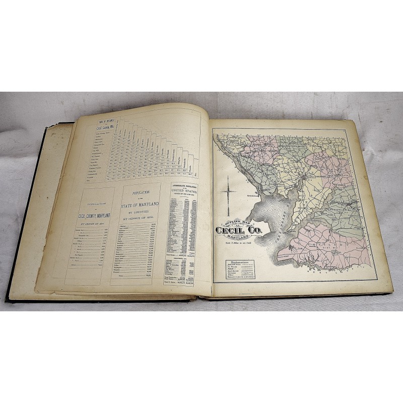
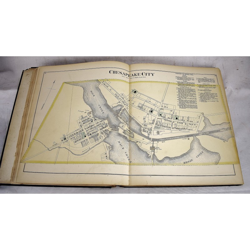
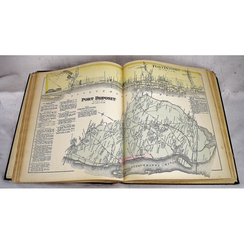
Folio, 41 cm. Bound in leather backed black boards. Rebacked. ([4], 5-57, [16] p. With double-page color railroad & Baltimore maps, 17 pages color maps + 10 pages of lithographic views. Pages are remarkably clean. "Engraved by Worley & Bracher." LeGear. Atlases of the United States, 4841.